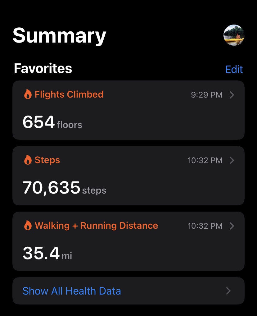
35.4m 6,540ft gain
Ancestral homelands of the: Cowlitz, Siletz & Klickitat
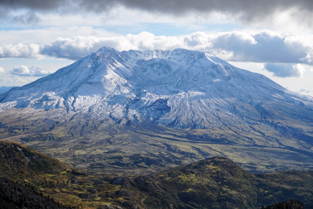
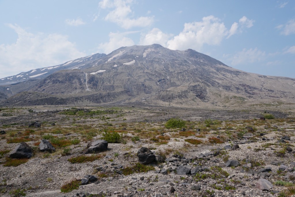
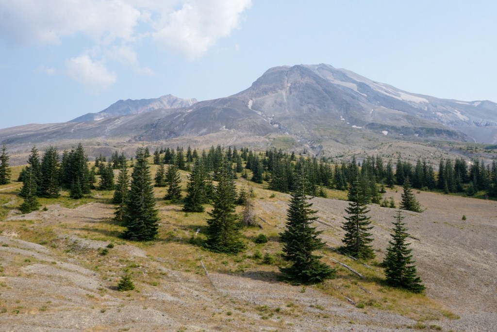
The Loowit Trail circumnavigates Mount Saint Helens (Loowit) midway between its foothills and erupted summit. The loop covers 35 miles while constantly dropping into and climbing out of deep gullies left by the eruption of St. Helens and its subsequent debris flows. The hike can be completed in one ambitious day or across multiple days camping in designated spots. Having been on double digit trips to the summit I can confidently say the Loowit trail is the tougher endeavor. There’s more distance, elevation change, exposed slopes, boulder hopping, stream crossing and overall navigational challenges. Summer brings the additional challenge of heat, lack of shade and lack of water sources. No matter the season come prepared, and you will be rewarded with views of the entire range of effects the 1980 eruption had on Mount Saint Helens and the surrounding area.
1st Trip: 8/3/21
I approach most hikes and gear purchases through the lens of a thru hiker even though I mostly climb mountains. It’s the concept of ‘take less, do more’ that I’m in to. So naturally I searched for long distance hikes to take on after bagging most of the peaks I wanted to in the greater Portland area. The top long-distance hikes, not named PCT, circle the two major Cascade volcanoes that sandwich Vancouver, Washington. I started with the shorter of the two, the Loowit Trail around Mount Saint Helens.
I had one week off before starting a new job at TeamSnap so that Tuesday I drove up to the Climbers Bivouac an hour from my house and hit the trail by 8am. I brought all my lightweight backpacking gear with the intention of splitting up the hike up over two days but I’d end up completing the hike in one record day. Stats below:
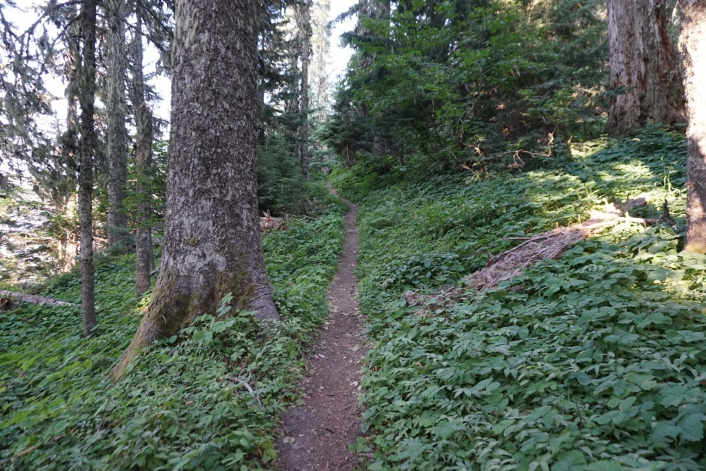
Since you need a permit to climb in the summer I almost exclusively climb in the winter and spring so this would be my first time starting a hike on MSH from the Climbers Bivouac and not Marble Mountain Sno Park. The first 2 miles and 1,000ft connected me to the Loowit trail to began my counterclockwise circumnavigation. Some would call this a circumambulation; the act of moving around a sacred object.
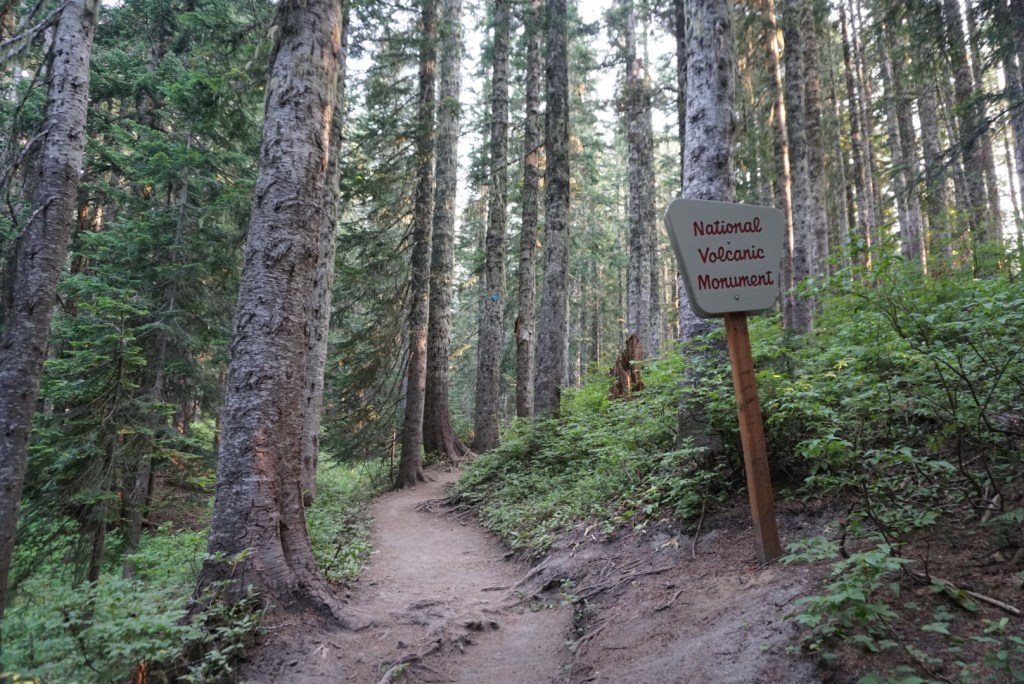

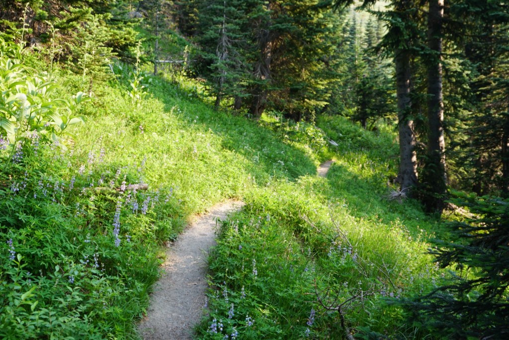
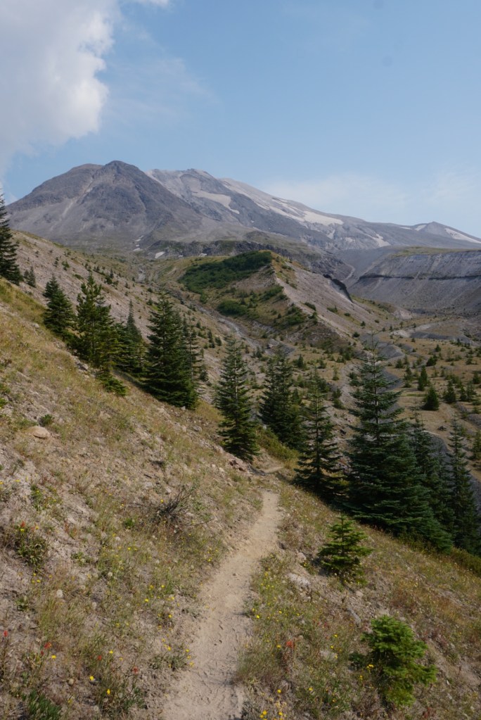
The first 2 miles on the Loowit Trail were mostly shaded but the trail was cloaked in spider webs, a good sign for solitude!

I was already sweating like crazy.
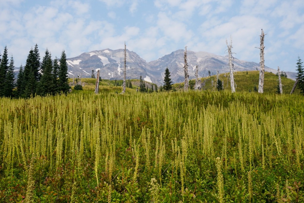
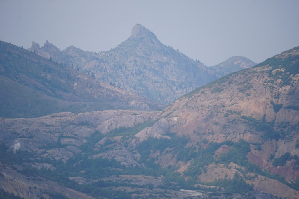
The mountain made its first appearance near the junction with the Worm Flows route.

Took my first break at Chocolate Falls. It was out of chocolate.

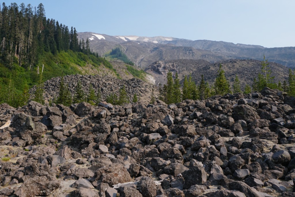
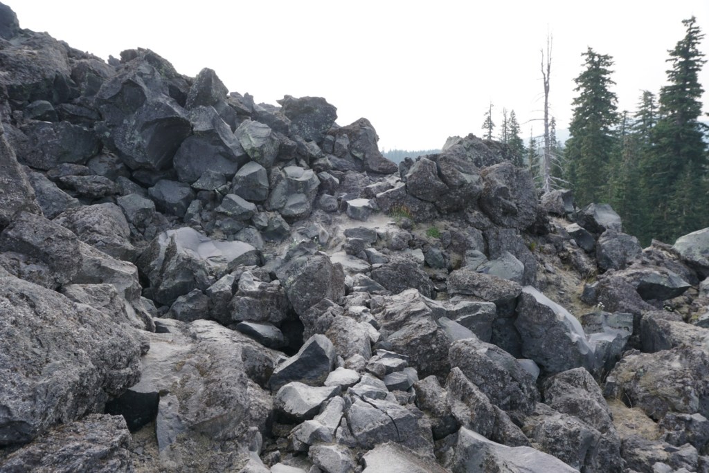
The next mile was a mess of boulder hopping through lava beds until reaching the June Lake trail junction.

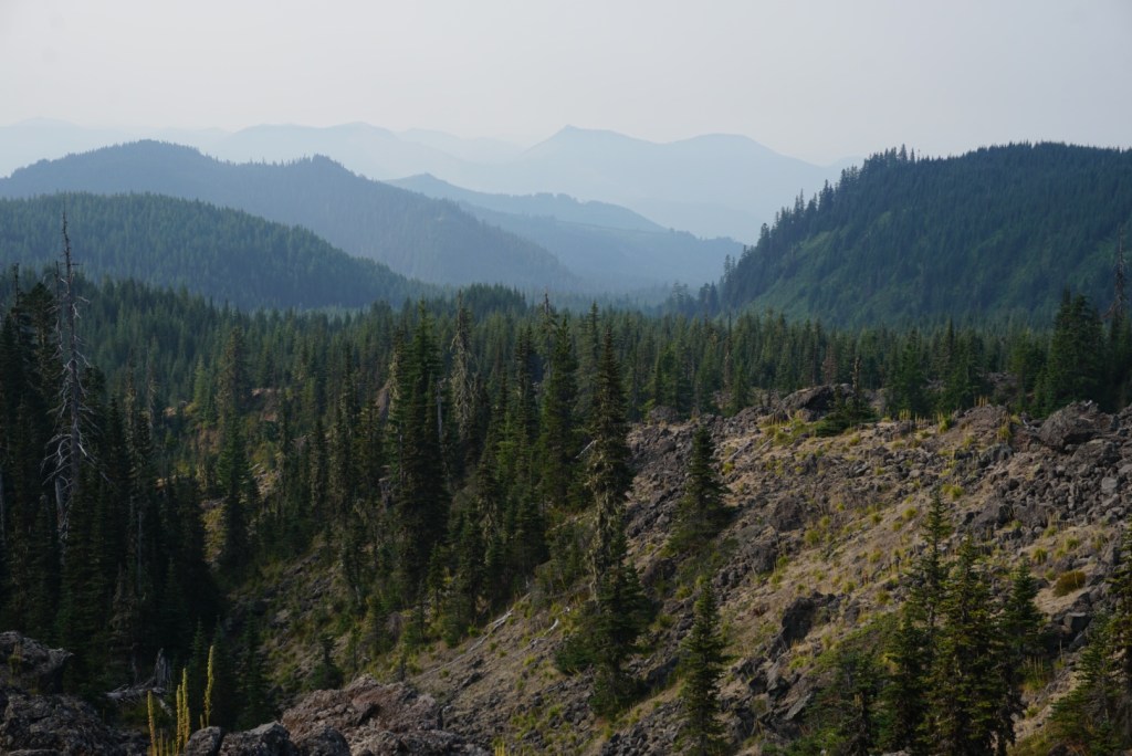
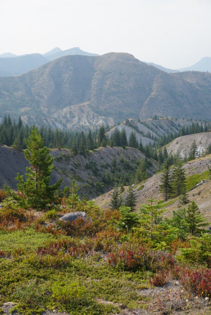
There were blue skies over MSH but smoke in every other direction.
The next 4.5 miles took me to the east side of the mountain. It was very warm but I was feeling great! My secret sauce was starting to hydrate with 2 liters of coconut water before moving to filtered stream water.


4 hours in I filled up 2 liters of water using my Katadyn befree filter in a creek stemming from the Shoestring Glacier. After filling up my bottles I chugged as much water straight from my filter as I could before continuing. That was the real key to staying hydrated.

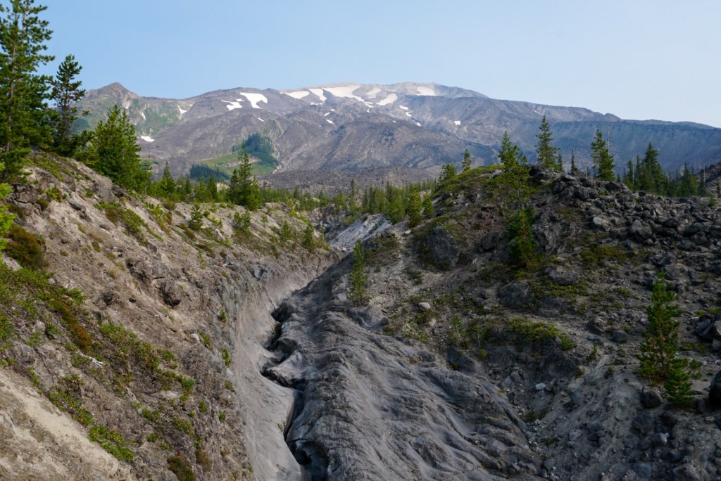
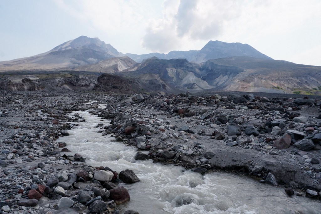
I dropped in and out of a few more gullies, one carved by the Muddy River.
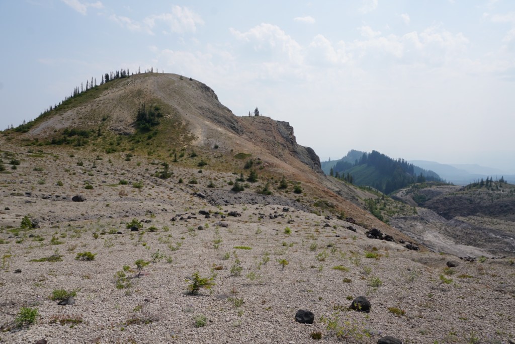
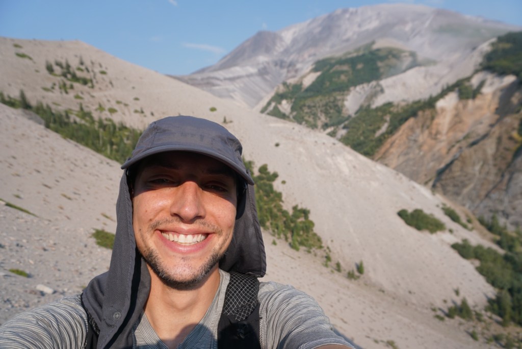
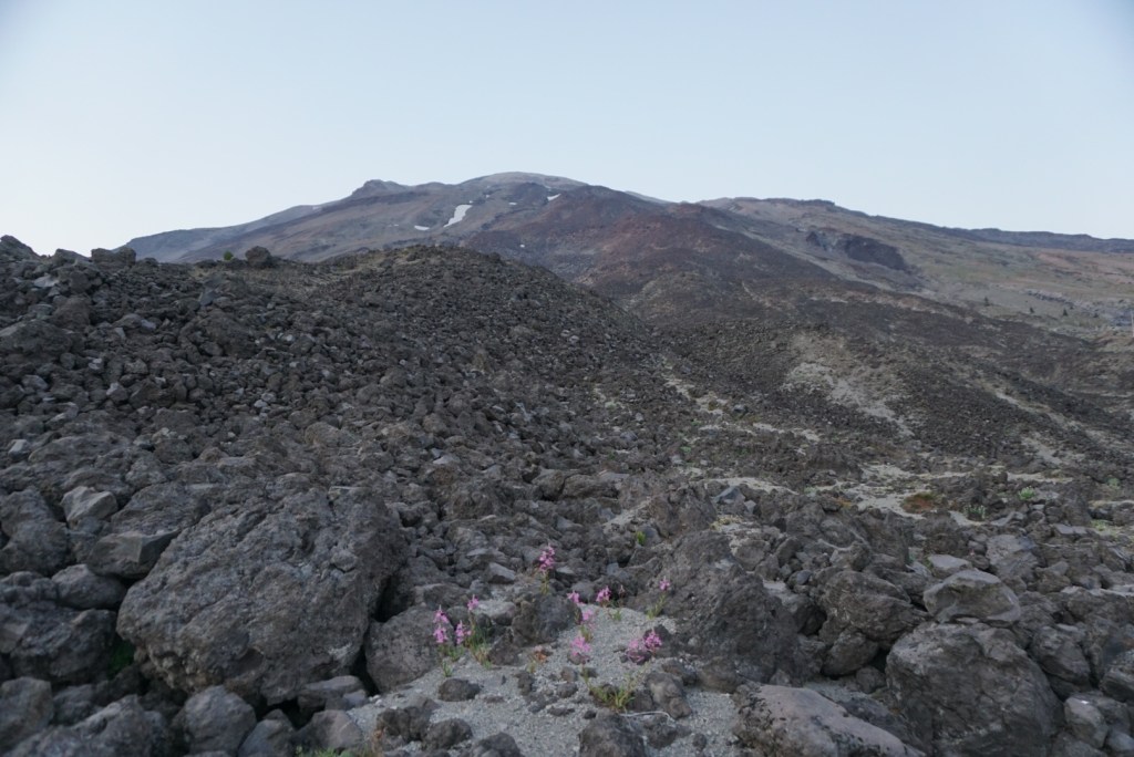
To make this a peakbagging trip I ran up Pumice Butte, pictured below.
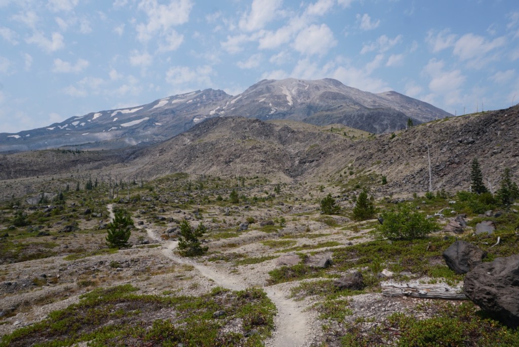
The following 2 miles crossed the Plains of Abraham which was flat and exposed to the hot sun. My neck was also becoming sore from looking at the mountain so much. Every angle is so fascinating!
Another 2 miles to Windy Pass which was very windy but still hot.
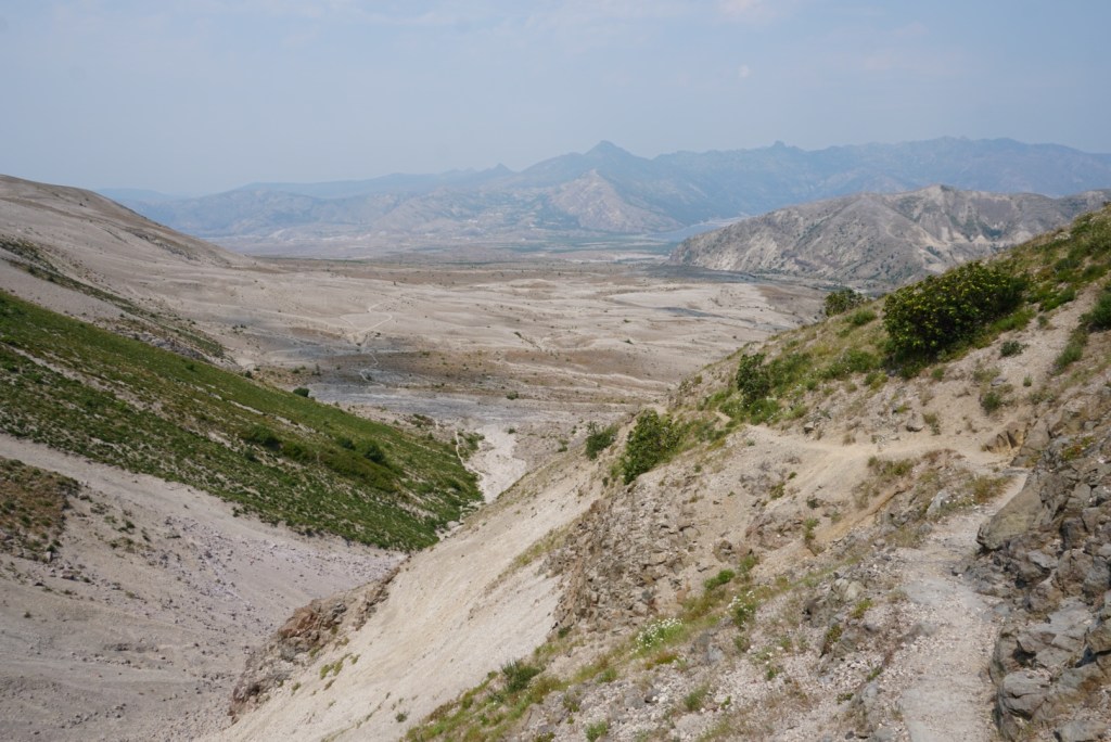
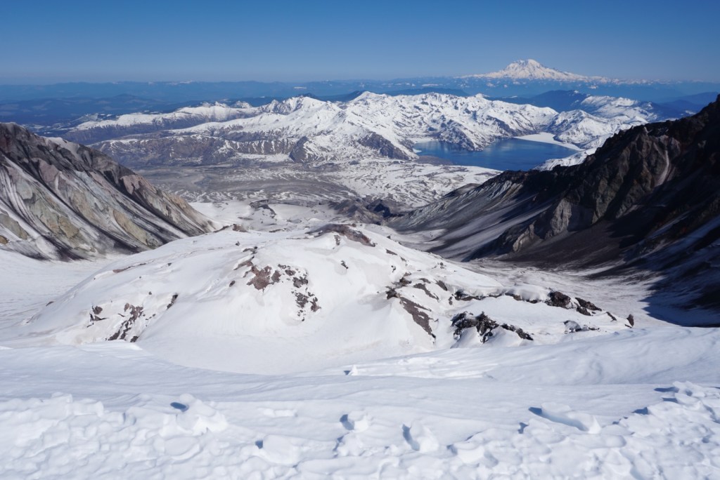
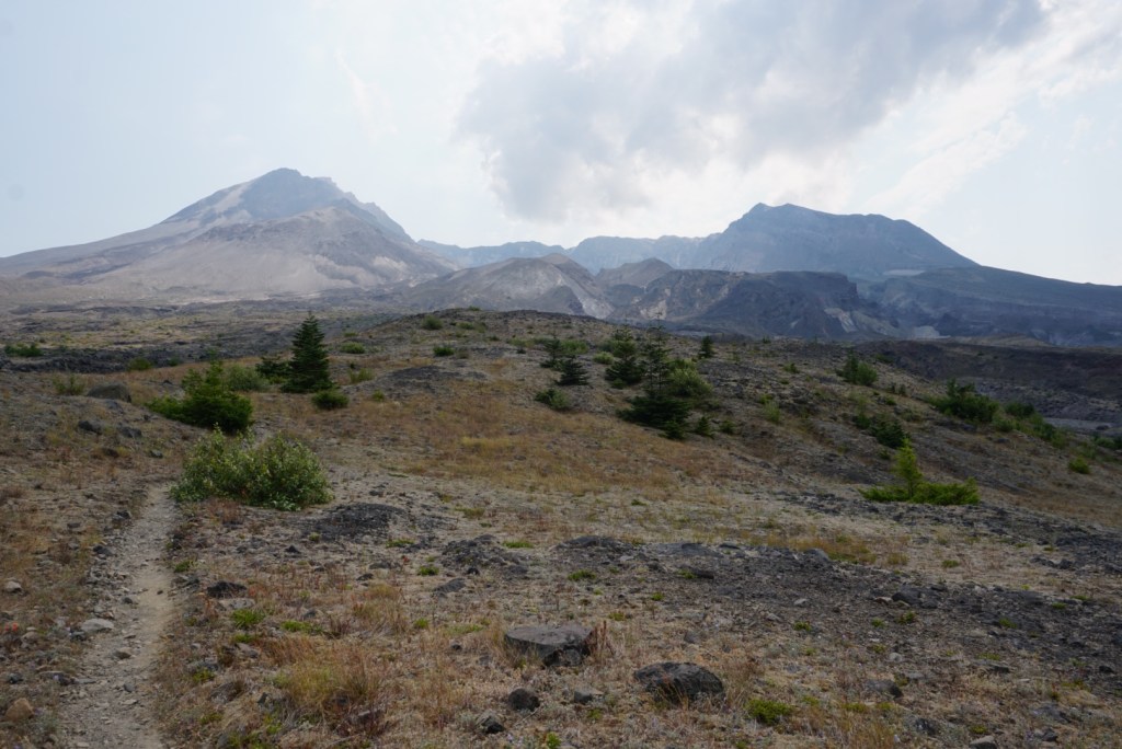
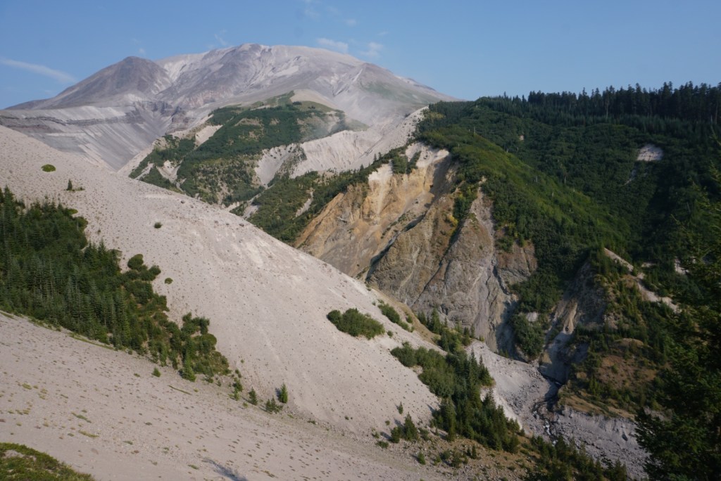
I’d spend the next 9 miles walking through the blast zone which is also a no camping zone. This is the area that saw virtually everything, natural or artificial, obliterated or carried away during the 1980 eruption.


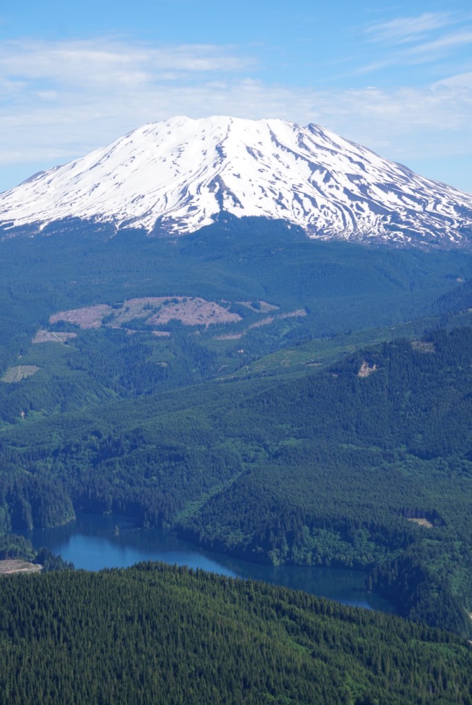
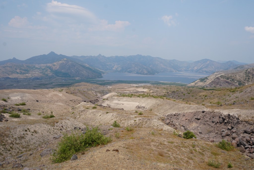
Had some great views north of Spirit Lake and the peaks around Johnston Ridge.
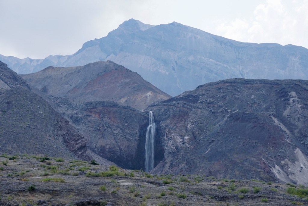
For some reason I added an extra mile to get closer to Loowit Falls below.
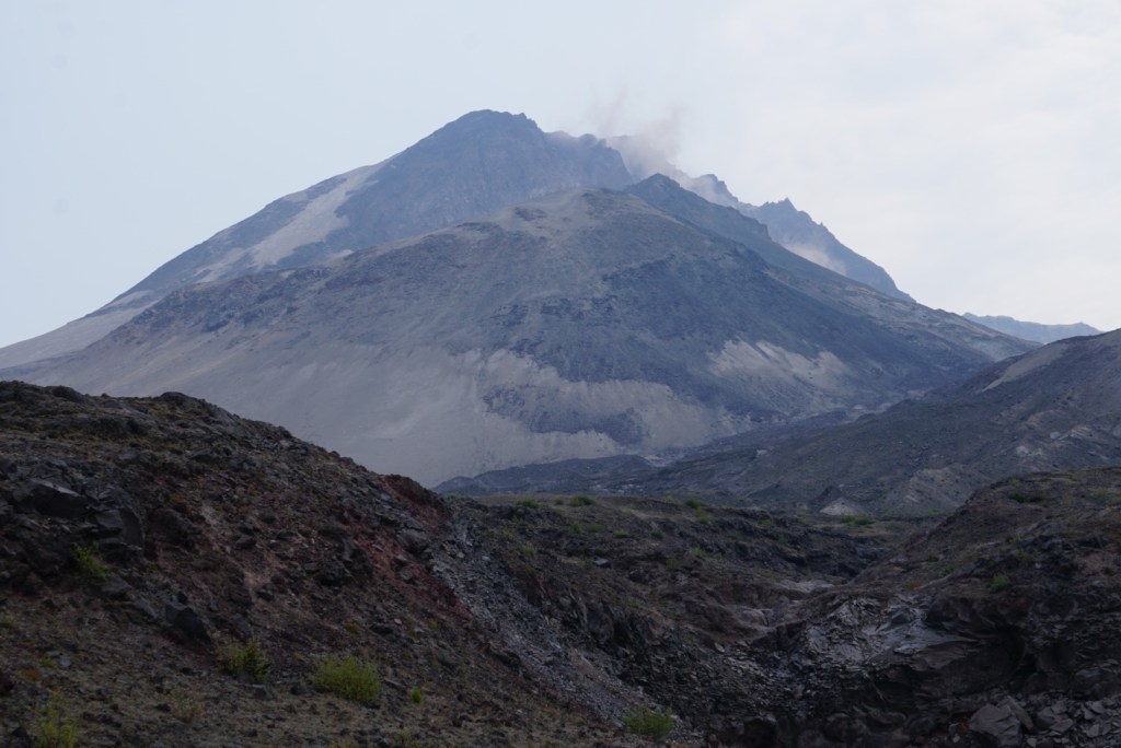
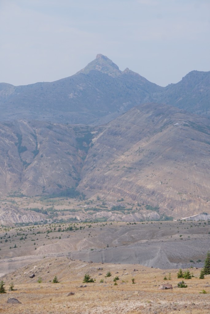
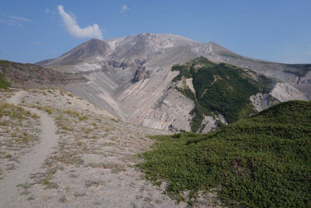
The mountain continued to change shape.
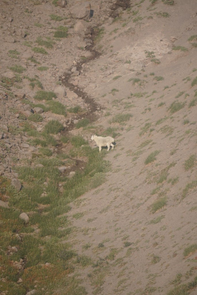
15 miles in I crossed the silty Loowit Creek and then Step Creek where I’d fill up my water again. I was drinking an insane amount of water which keep me feeling energized! Moving fast made the water sources along the trail actually seem abundant but everyone I spoke to complained. Early on the hike a man turned around because of heat exhaustion so staying ahead in the hydration game was a big focus.
The sun seemed to follow me for the next 5 miles as I approached the west side of the mountain. Thankfully I came prepared to replace my soaked through shirt and hat.

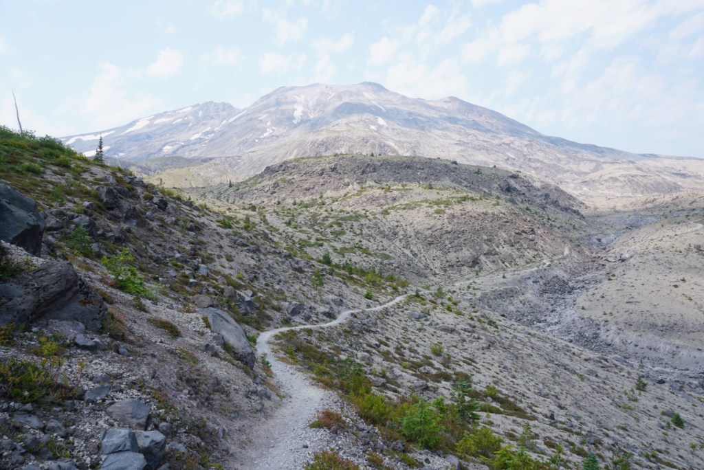
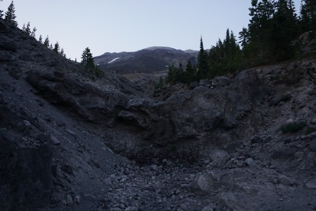
I dropped in and out of countless more gullies and canyons.
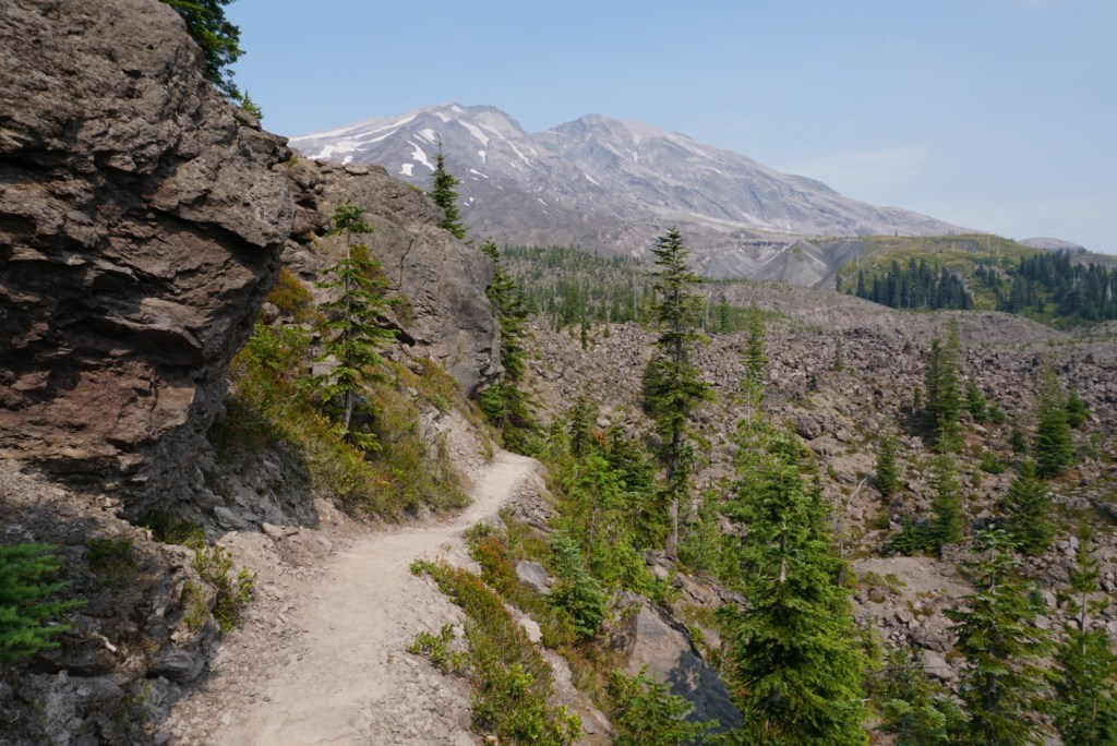
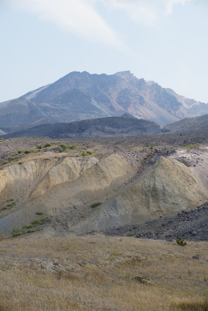
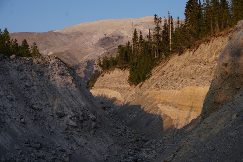
21 miles in I reached the South Fork Toutle River Canyon which displayed my favorite view of the mountain! It was already 5pm but I felt confident about finishing in one day so I continued putting one foot in front of the other.


The 1,000ft descent to the Toutle River was almost entirely spent switching back and forth on loose sand.
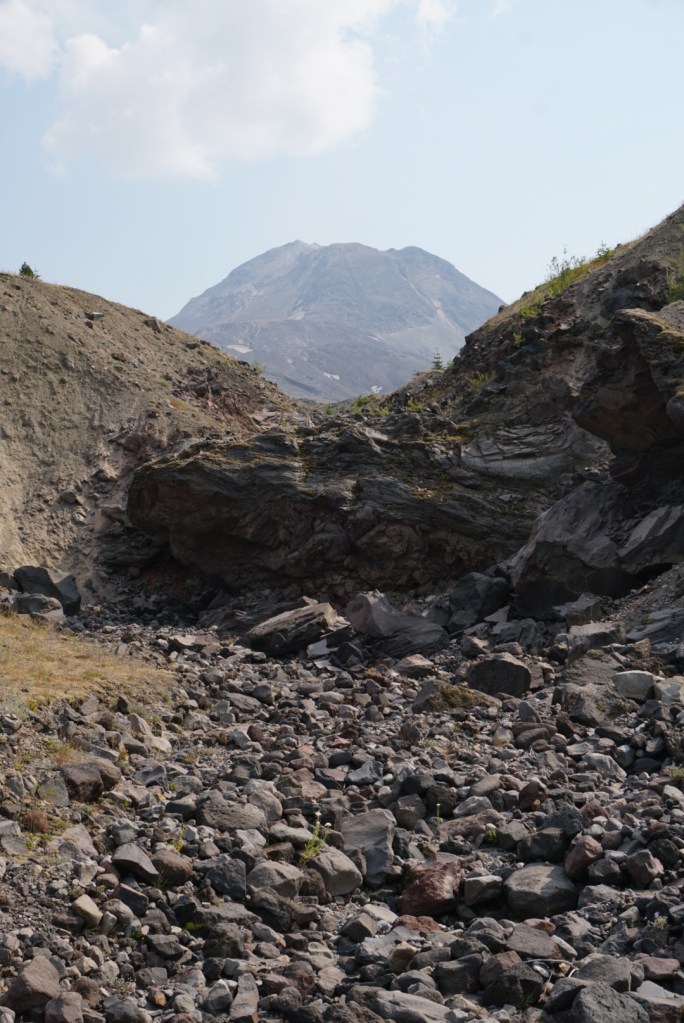
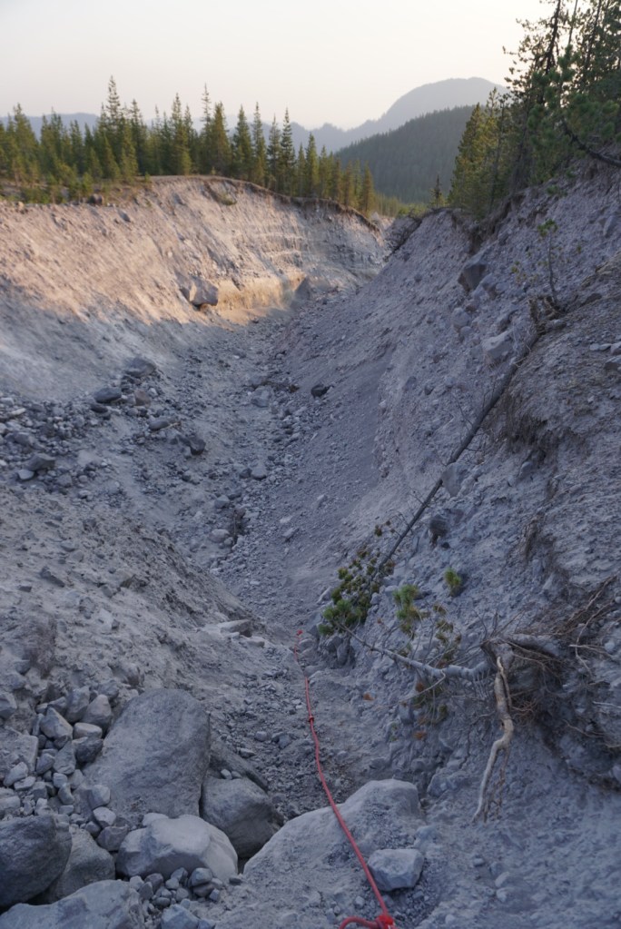
Reaching the bottom of a gully or getting out of one often involved using fixed rope through a washout like below.
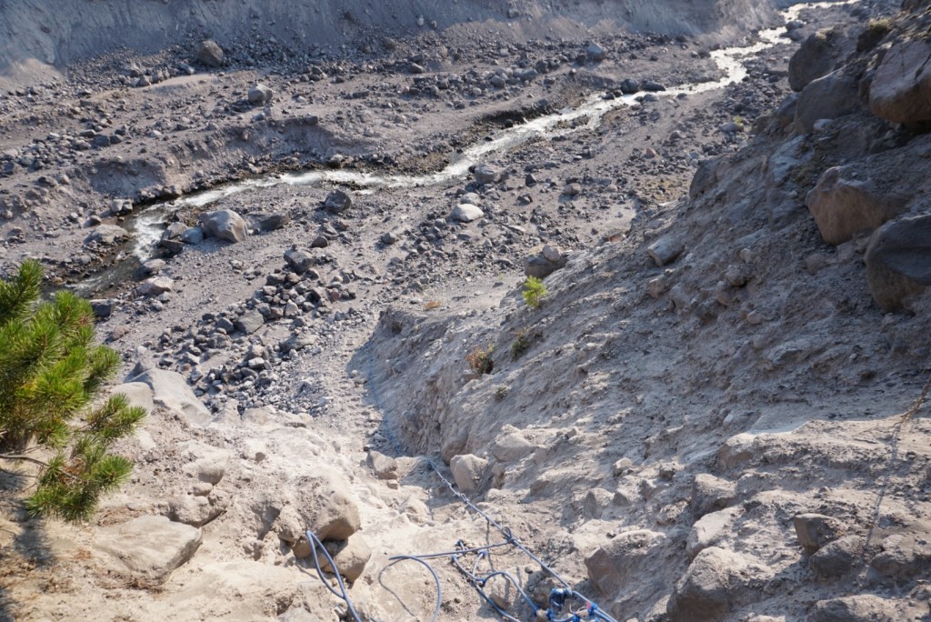
At the South Fork Toutle River I took a break to fill up more water and have a quick dinner. The Toutle River was both a hero and villain. It provided me with water when I desperately needed it but it also meant I’d have to gain another 1,500ft over the next mile and a half to Crescent Ridge.
To my surprise my legs felt better going uphill although my butt was totally chafed. I also enjoyed the rare shade while gaining elevation. At 7:15pm, 25 miles in, I reached Crescent Ridge. This is where I planned to camp but the idea of finishing in one day was too exciting to give up on. It was also motivating to hear an older couple, who were on their third night of camping, say I was the happiest person they had seen during their trip!
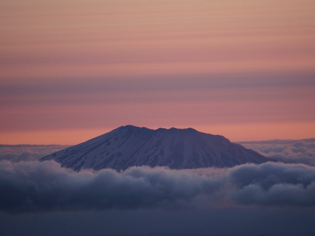
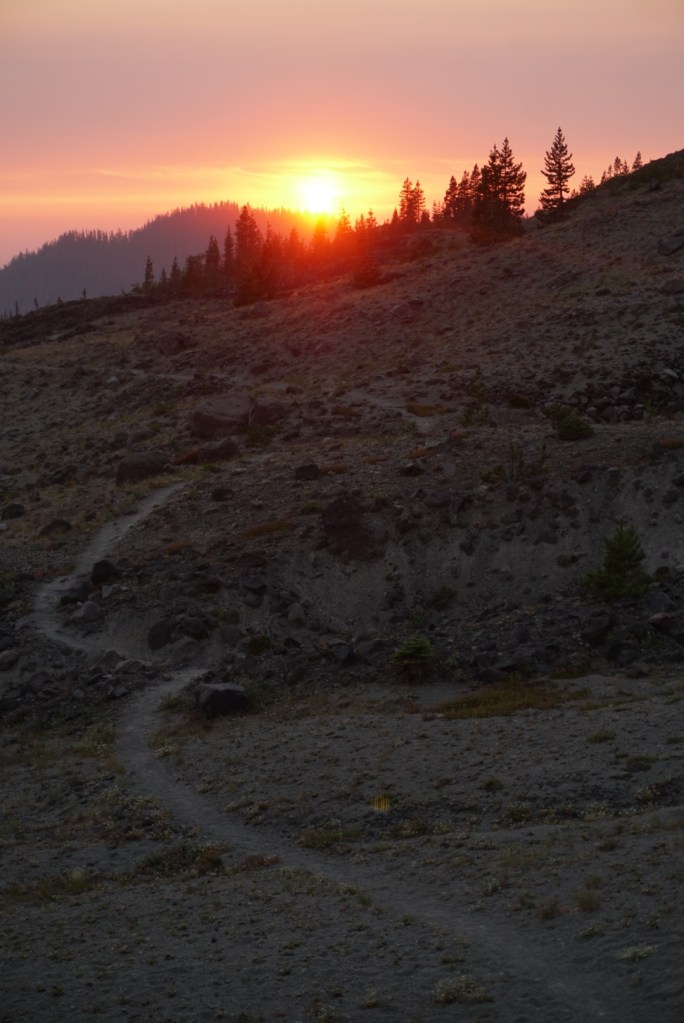
By 8:30pm I covered another 3 miles and 600ft of gain to Butte Camp as the hazy red sun set behind me.

The last 2 miles of the Loowit trail went through lava beds that involved much more boulder hopping and route finding than I hoped to do in the dark.
At 9:30pm I completed the loop but still had 2 more grueling miles and 1,000ft of elevation to lose before finishing at the Climber Bivouac. Walking downhill was the worst so I created an ineffective method to jog/waddle the rest of the way. My legs and feet had all kinds of weird pains but proving to myself that I could complete the hike in one day was all I could think about!
35+ miles, 6,500+ft gain/loss over 14 amazing hours! No better feeling then pushing yourself in the mountains and seeing what you’re made of! On top of that I felt an even deeper appreciation for the unique character of Mount Saint Helens aka Loowit! Next up: Timberline Trail around Mount Hood!

What a story! You are amazing.
LikeLike