Summit: 5,720ft
Native Land of the: Cowlitz
15.4m 3,710ft gain
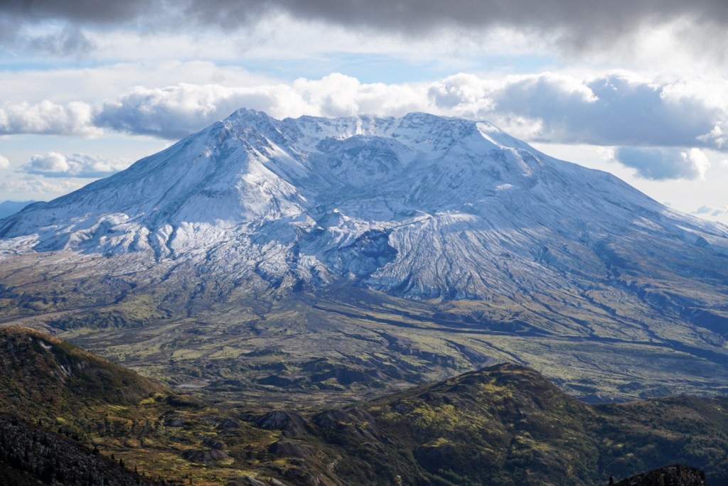
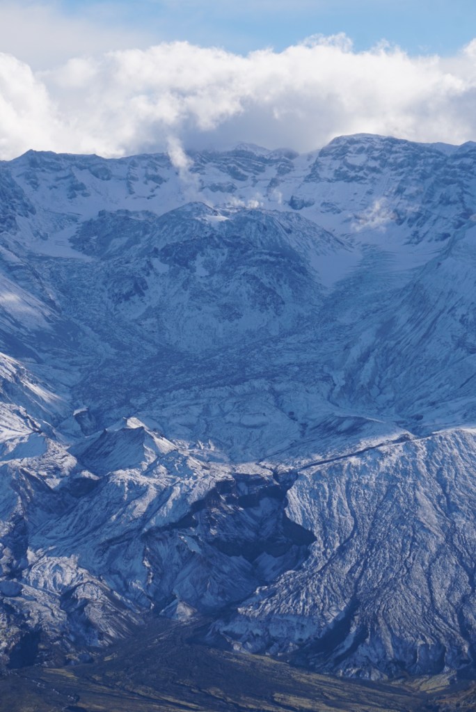
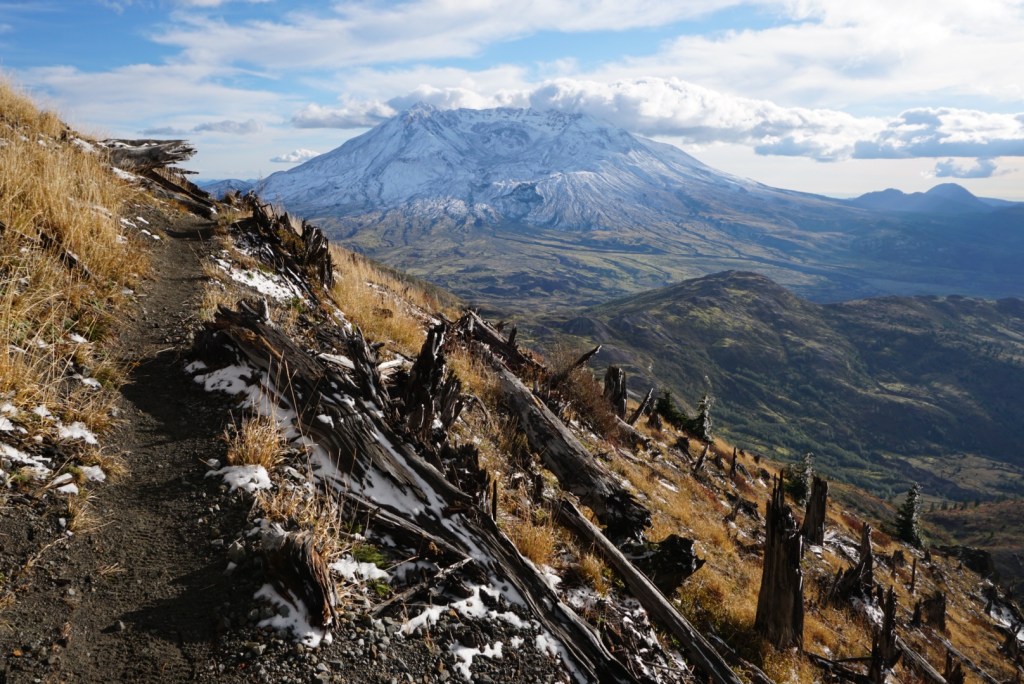
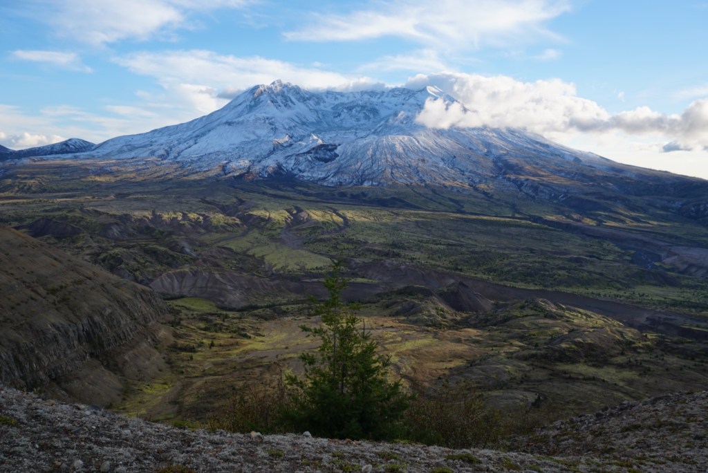
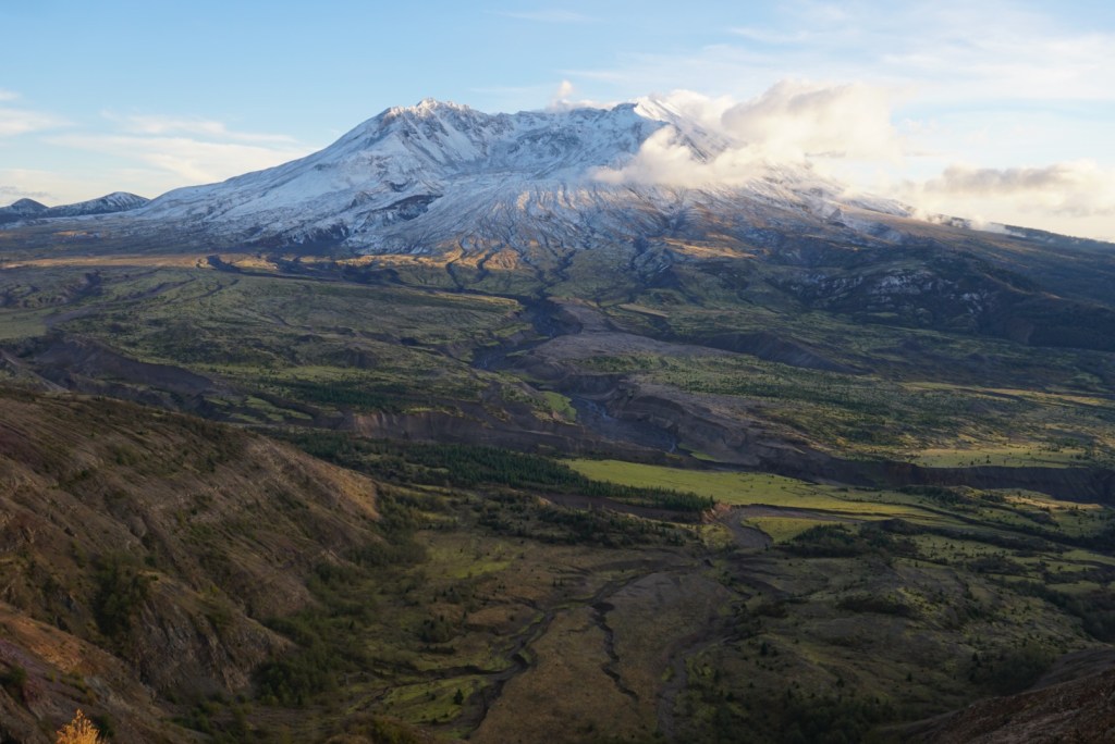
This lovely mountain lies seven miles north of Mount Saint Helens in the Mount Saint Helens National Volcanic Monument and the Gifford Pinchot National Forest. The lateral blast from the 1980 eruption of MSH pointed directly towards Coldwater Peak and stripped everything from its slopes. Today it offers a unique chance to see a full panorama of the blast zone while the entire trail tells a story of destruction and regrowth!


1st Trip: 10/22/20
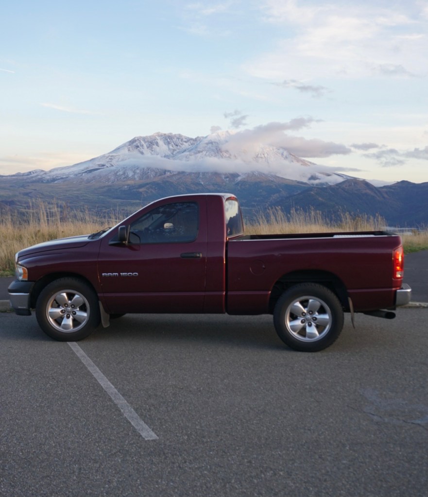
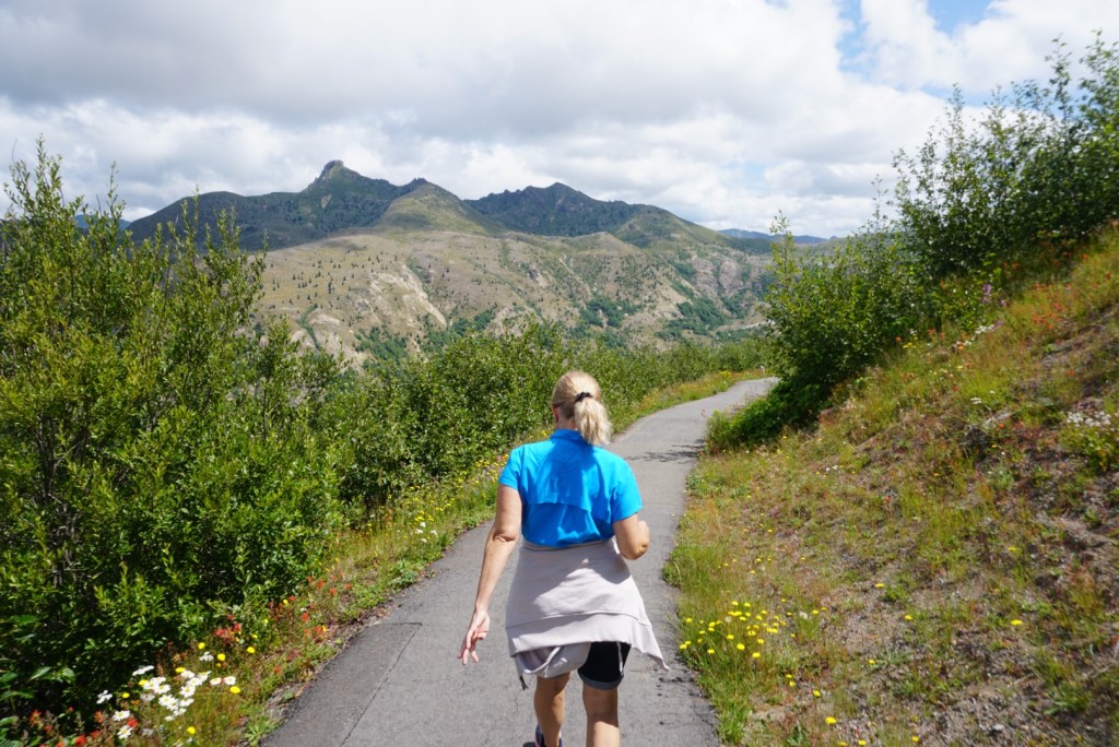
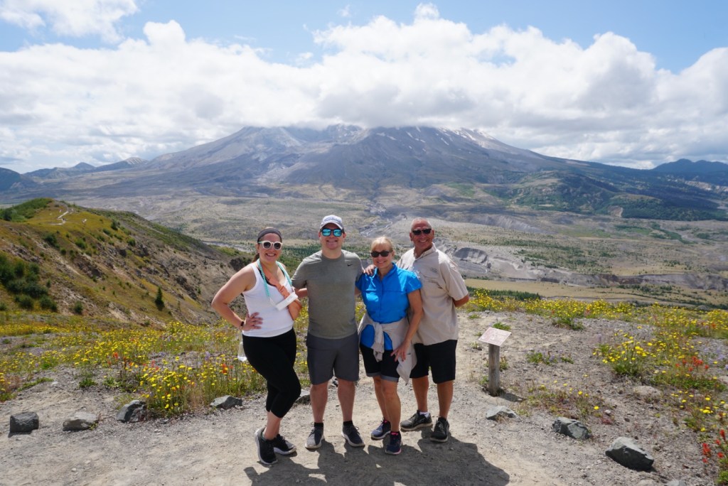
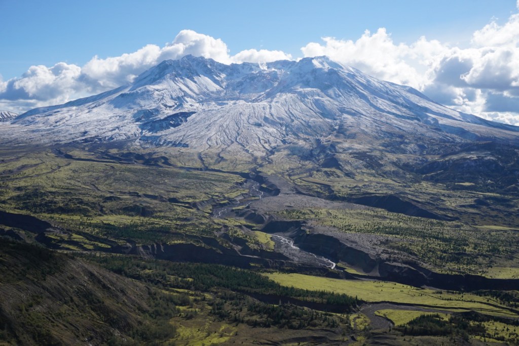
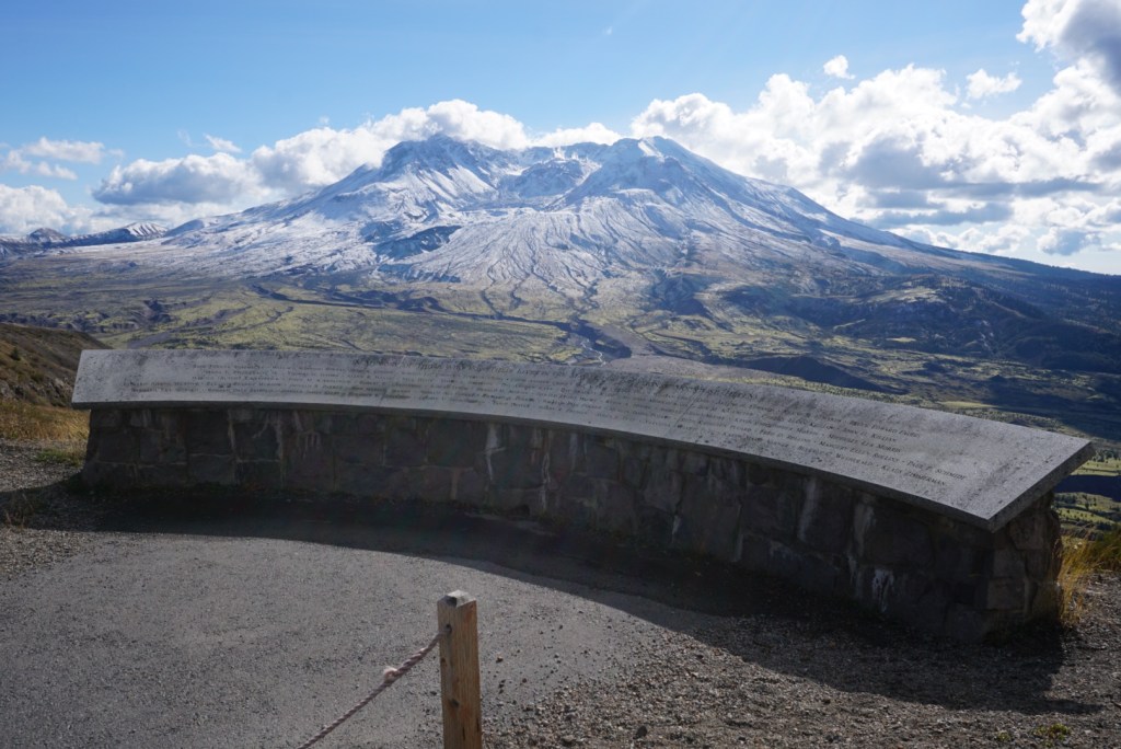
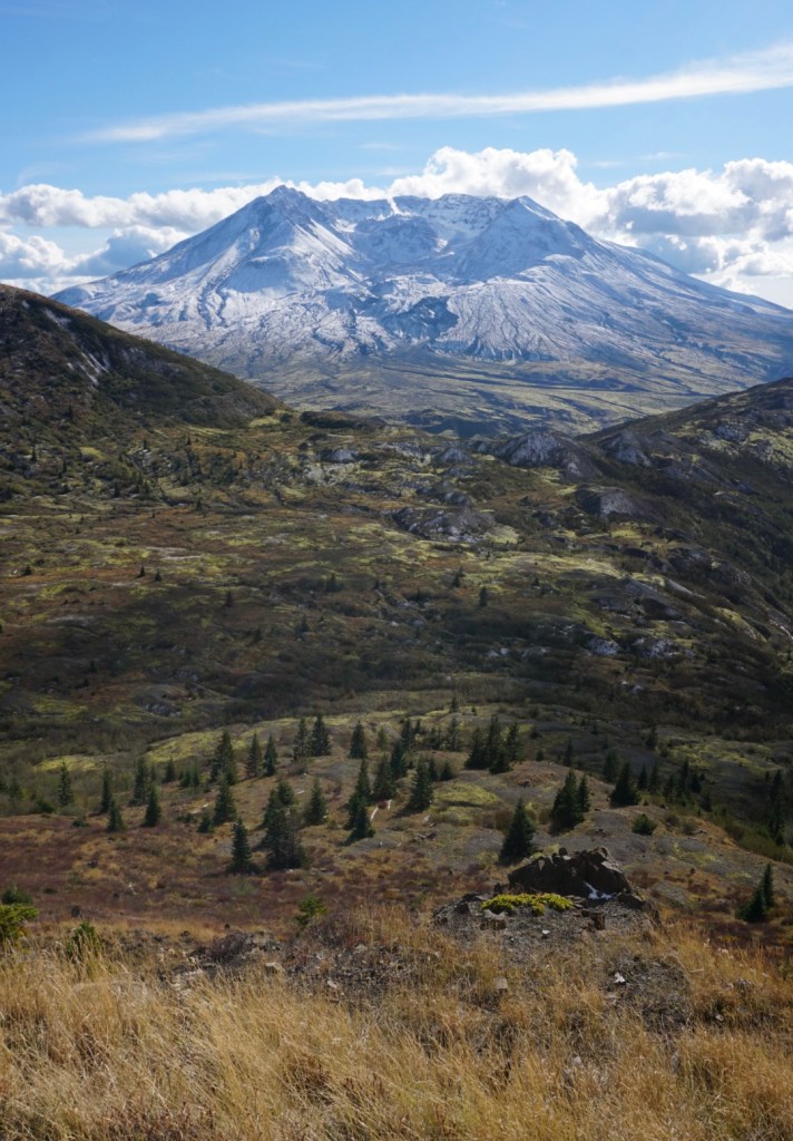
Mount Saint Helens is only 35 miles north of our home in Vancouver making all the surrounding trails great options for after work hikes. For this trip it’s an 1hr30min drive to the Johnston Ridge Observatory. From there the Boundary trail takes you three miles to the junction with Harry’s Ridge. That entire stretch of trail follows the edge of Johnston Ridge with outstanding views of Mount Saint Helens and the Lava Dome!
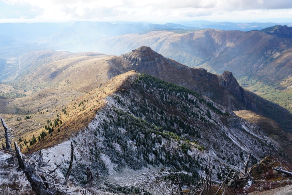
Past Harry’s Ridge the Boundary trail heads north to a saddle with a nice view of Spirit Lake and Mount Adams.
I’d gain 1,000ft over the next mile.

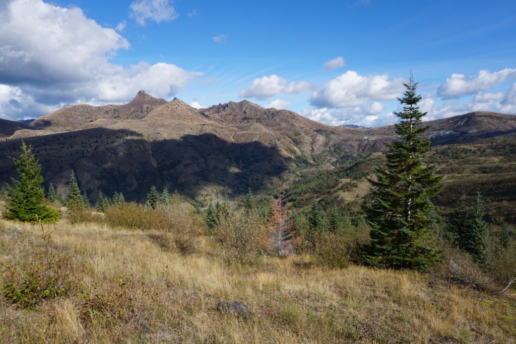
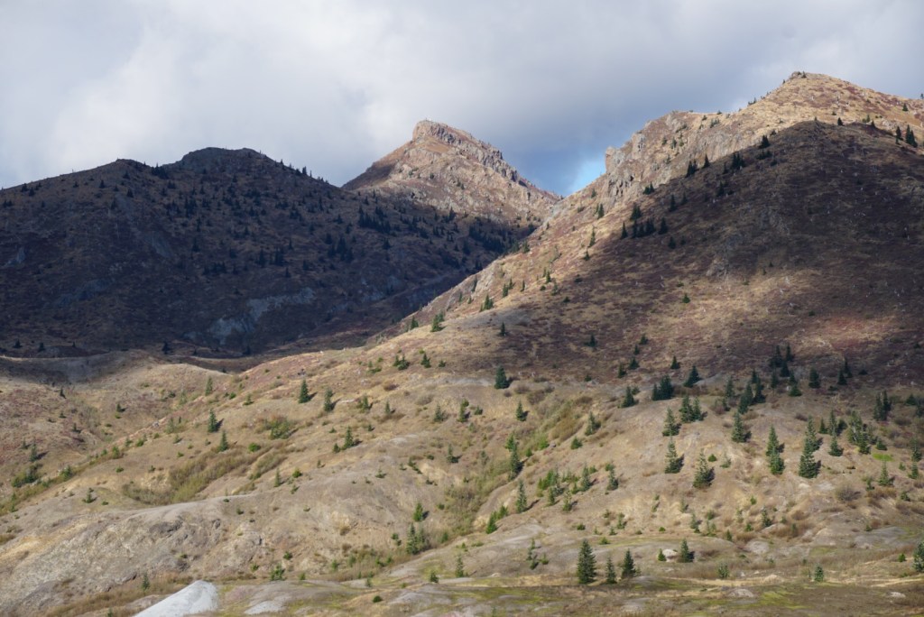
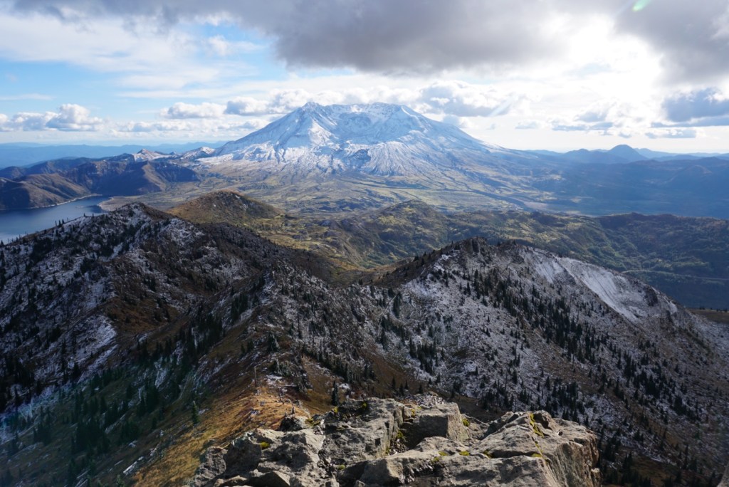
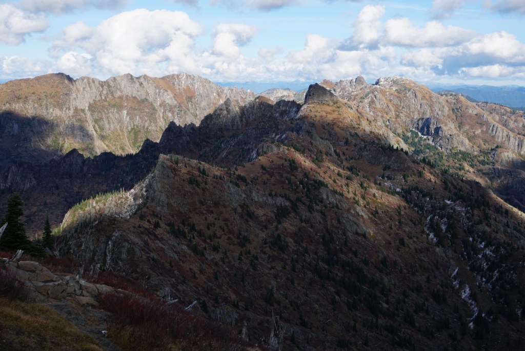
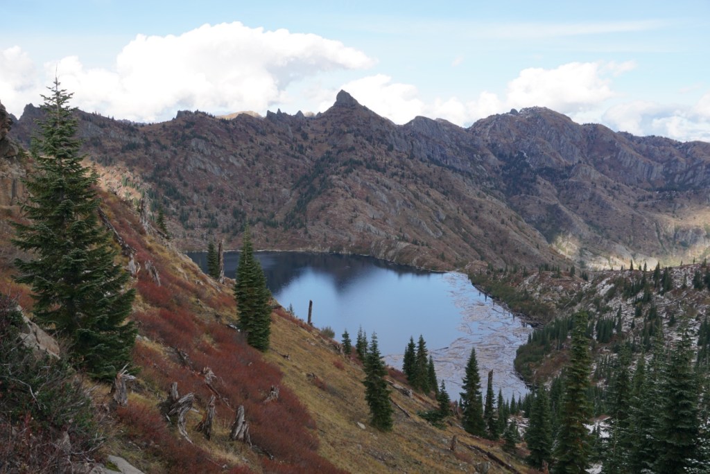
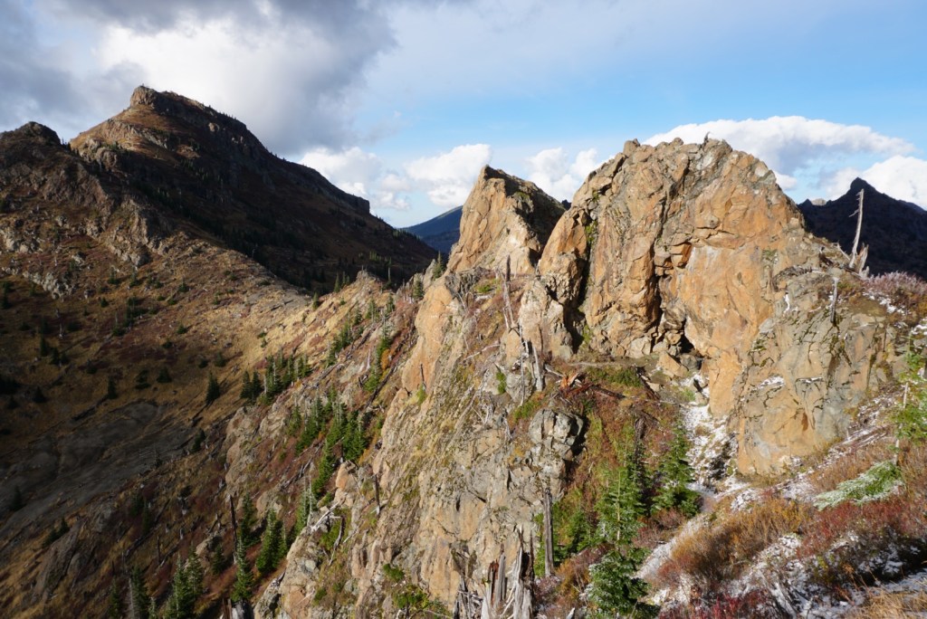
The following ridge had a great view towards the Mount Margaret Backcountry and Saint Helens Lake. The trail then descends through a cool natural hole in the wall.
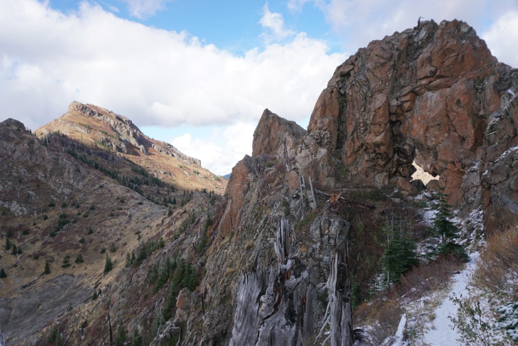
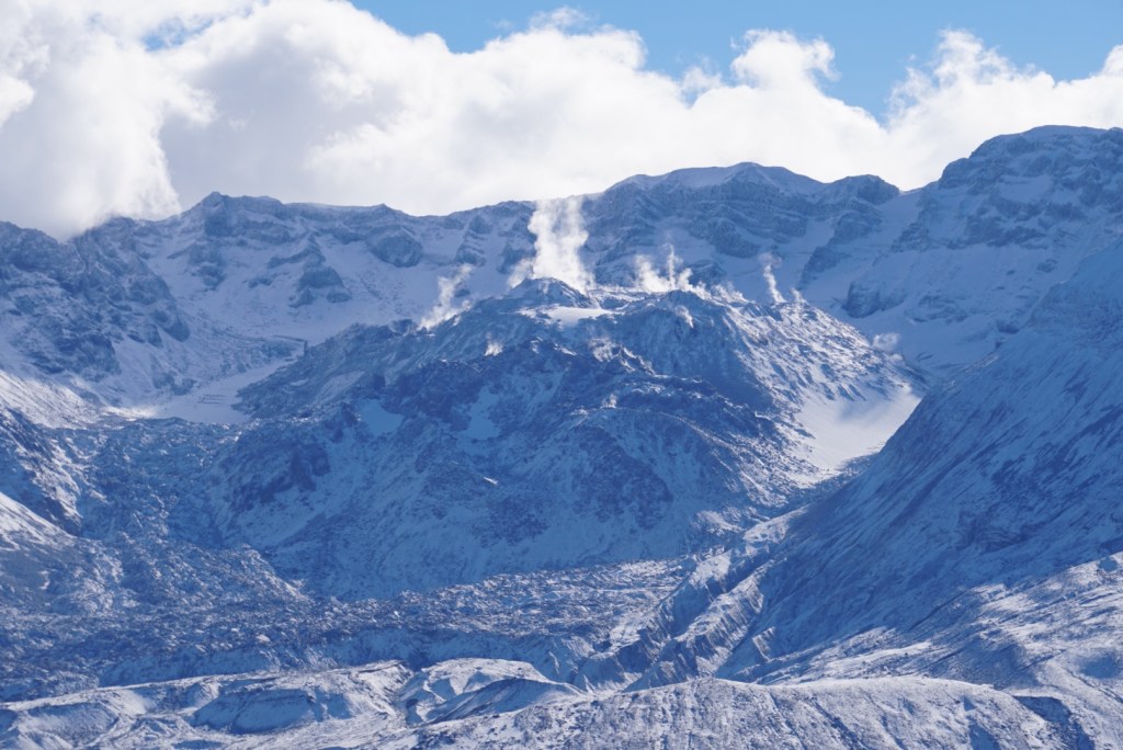
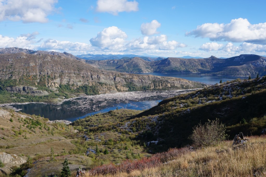
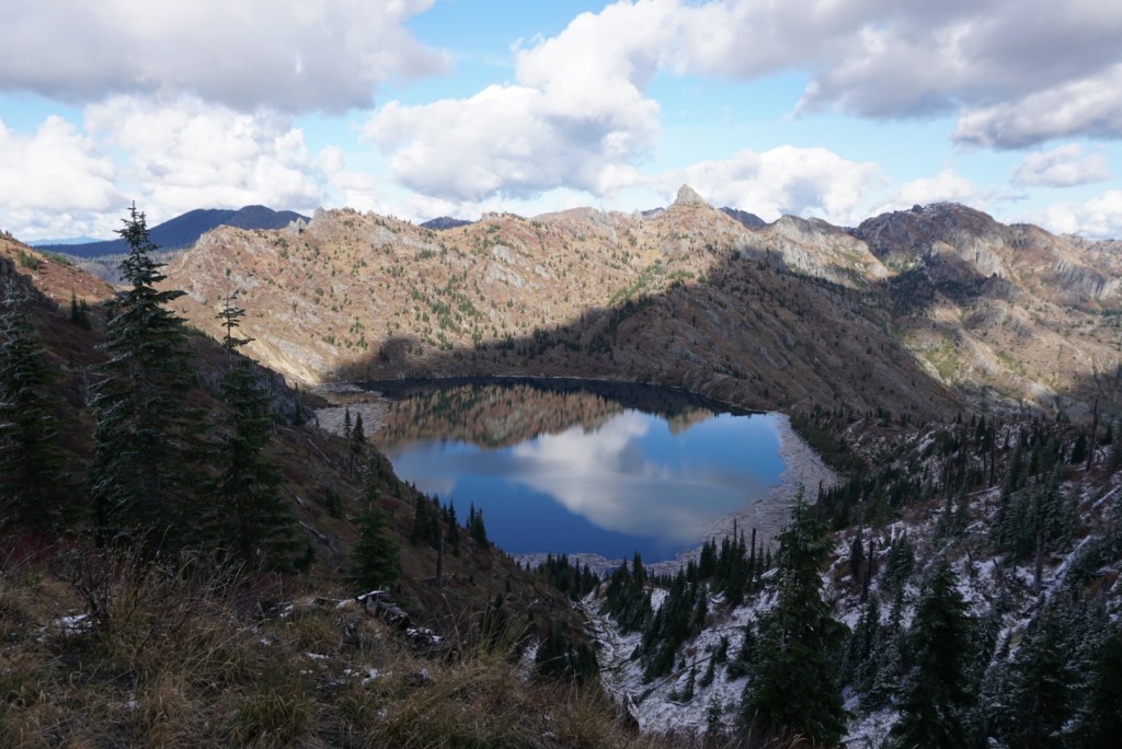
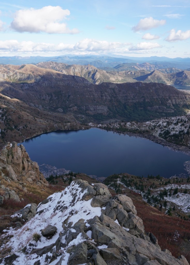
Past the arch the Boundary trail traverses below Coldwater Peak and above Saint Helens Lake.
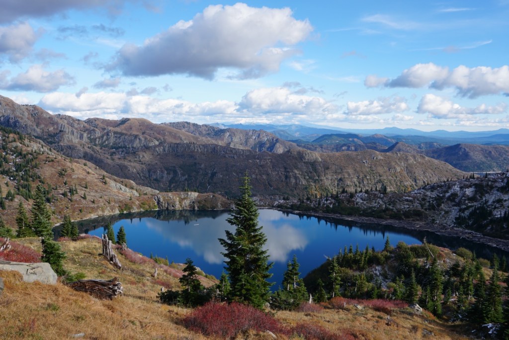
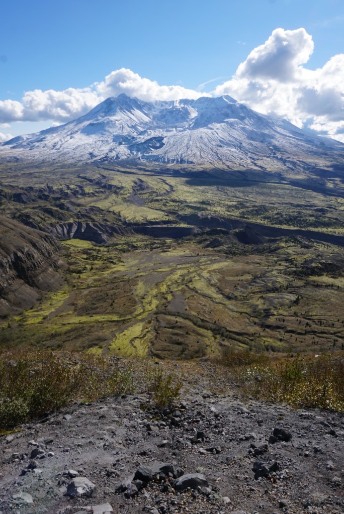
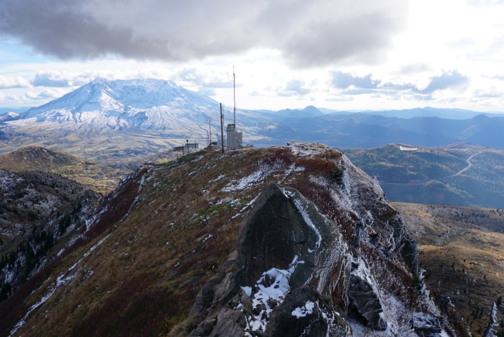
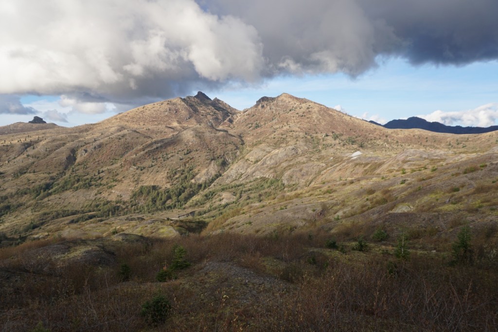
The next side trail takes you 3/4 mile and 600ft up to Coldwater Peak! The ominous clouds made this dramatic scene even better!
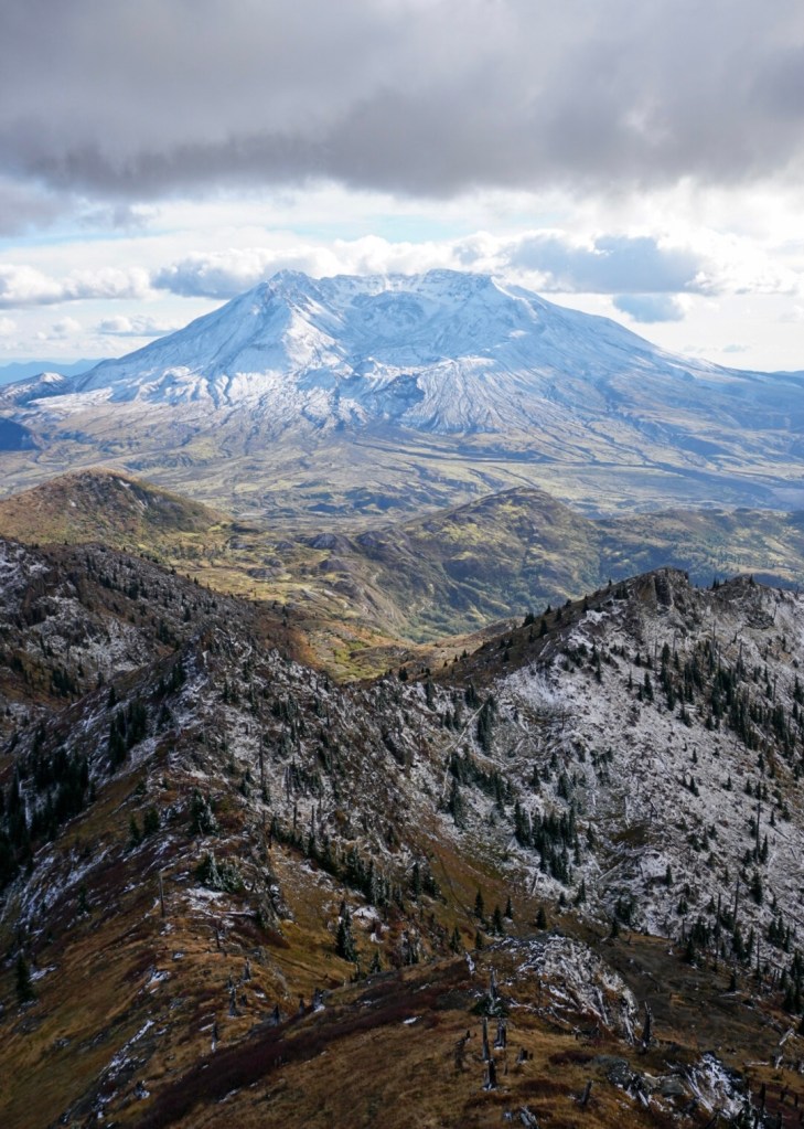
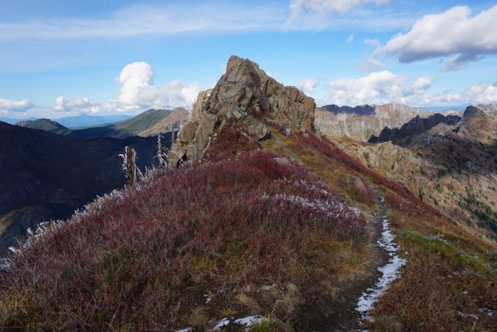

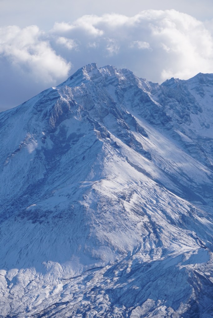


More clouds started to roll in but it made for more incredibly unique views!
This area is so much fun for people of all fitness levels! I’d spend more time on the north side if they allowed dogs but Moose spends plenty of time on the south side. This year I plan to take the Loowit Trail which circumnavigates MSH in 32 miles. That’s the last goal on the mountain I need to check off after a few successful ski tours this winter!