Summit: 4,960ft
Native land of the: Cascades, Warm Springs and Grand Ronde
14m 5,200ft gain
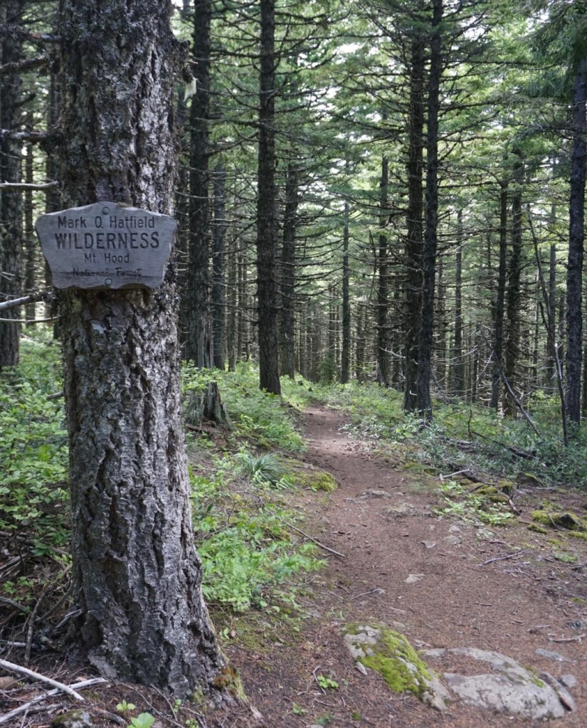
Not to be confused with the Mount Defiance along I-90 in Washington, this Defiance is the highest peak in the Columbia River Gorge! It also lies within the Mark O. Hatfield Wilderness and Mount Hood National Forest. It is often considered the most difficult day hike in the region given the 5,000ft of gain in 6 miles but the well maintained trail makes this an easy trip for a conditioned hiker. What makes this more than just a great training hike are the numerous waterfalls and fantastic views over the gorge to the Mazama Guardian Peaks!
1st Trip: 6/17/2020
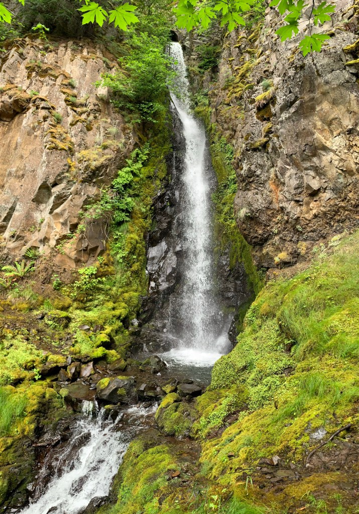
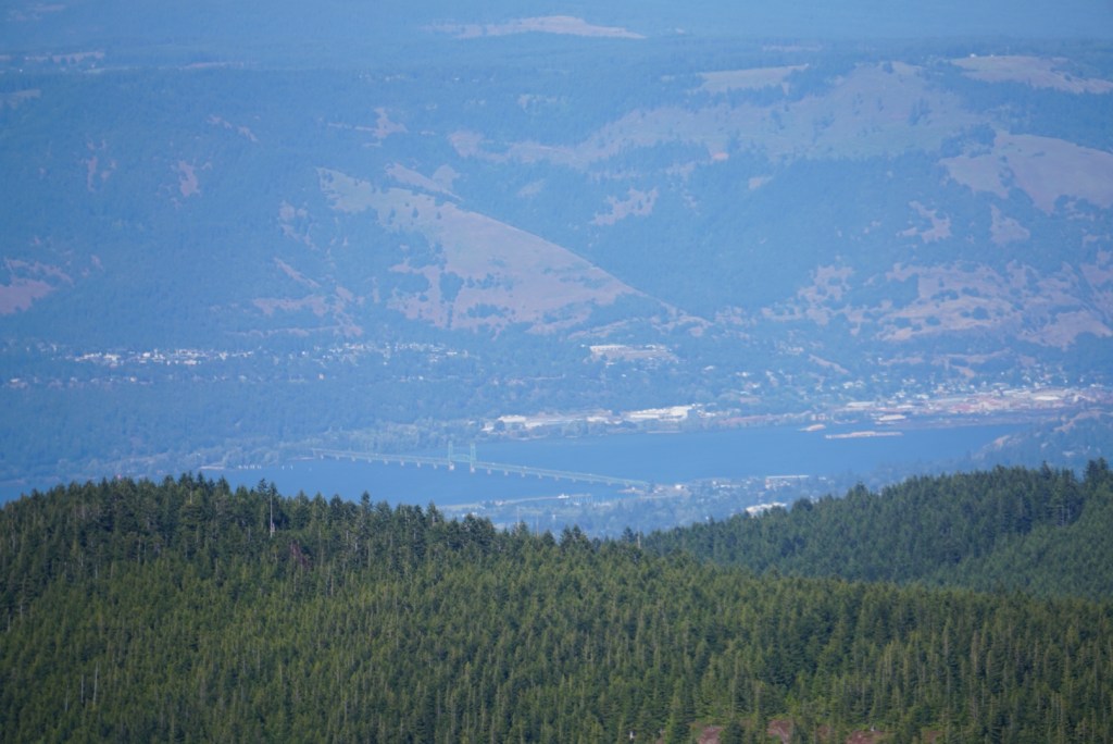
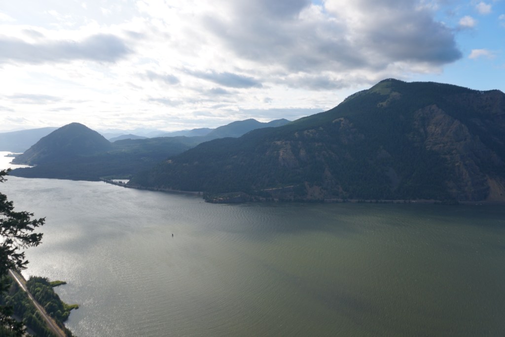
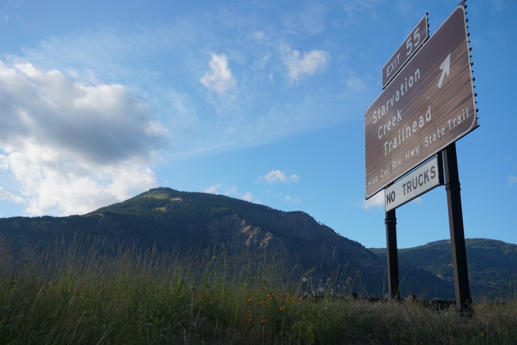
Weather and timing finally lined up for an ambitious after work hike up Mount Defiance! The hike starts at Starvation Creek State Park (exit 55 off I-84) which is a nice pit stop on the drive from Portland to Hood River. There you can take a short walk to four waterfalls or a long walk up Mount Defiance. The waterfalls include Starvation Creek Falls, Cabin Creek Falls, Hole in the Wall Falls and Warren Creek Falls. The cutoff trail to starvation ridge was closed so that added 1.5 miles both ways. I didn’t mind having to pass all the falls twice!
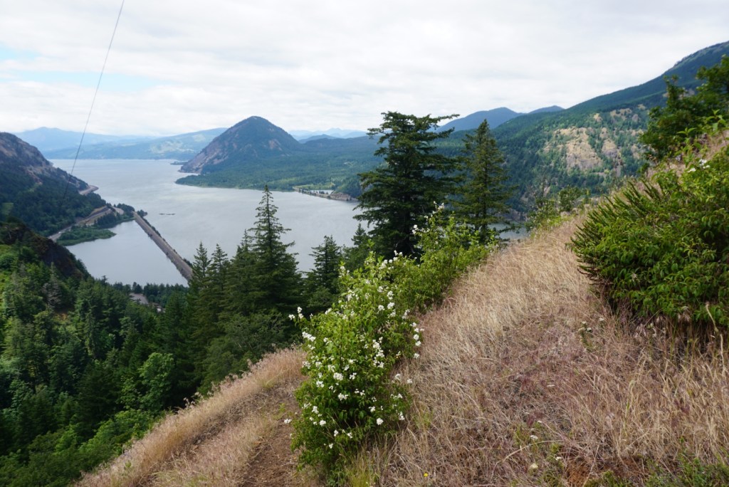
Defiance is often done in a loop using Starvation Ridge and the Mount Defiance trail. I chose to go up and down Starvation Ridge for a number of reasons. The first was the sweet views along the power line corridor.

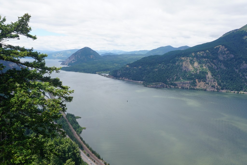

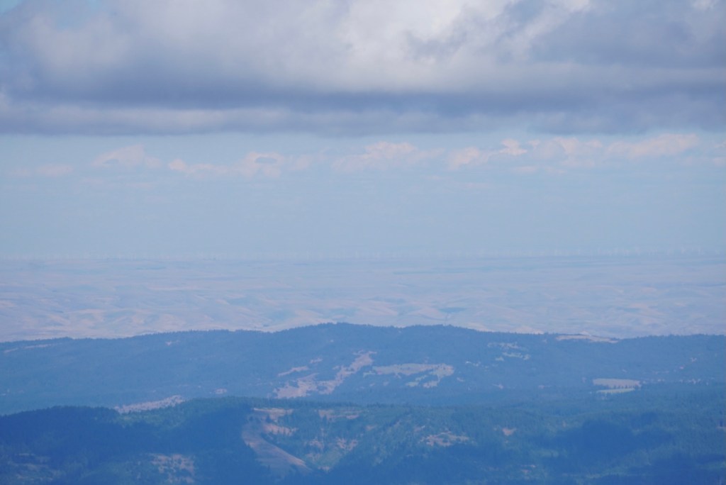
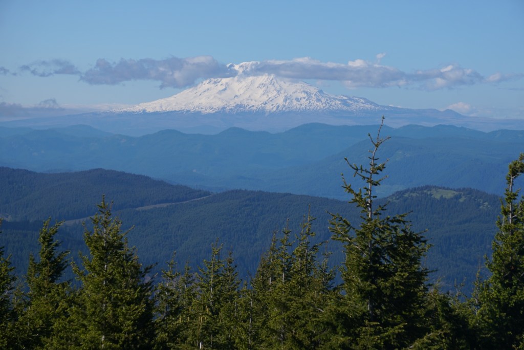
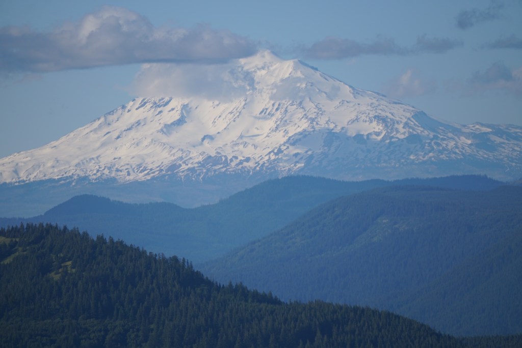
The second reason was the awesome two mile section of trail that goes directly up Starvation Ridge. A gentleman who came up the Defiance side said he preferred this trail because it’s more gradual and goes through less burned forest. That was the third reason and the couple open views of Mount Adams past the ridge was a great perk!
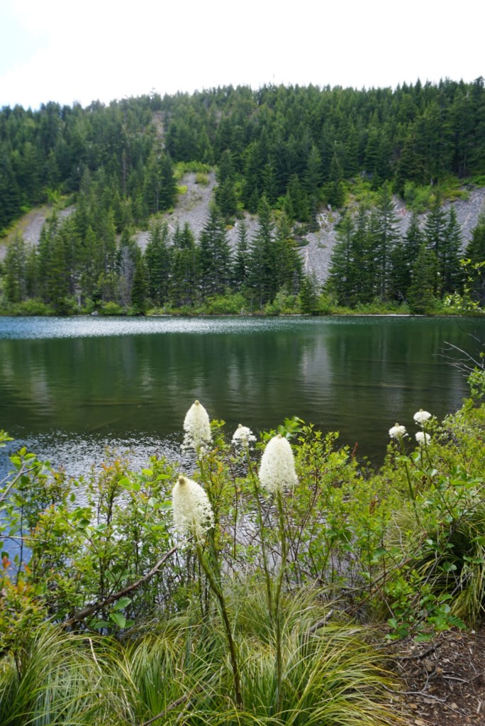
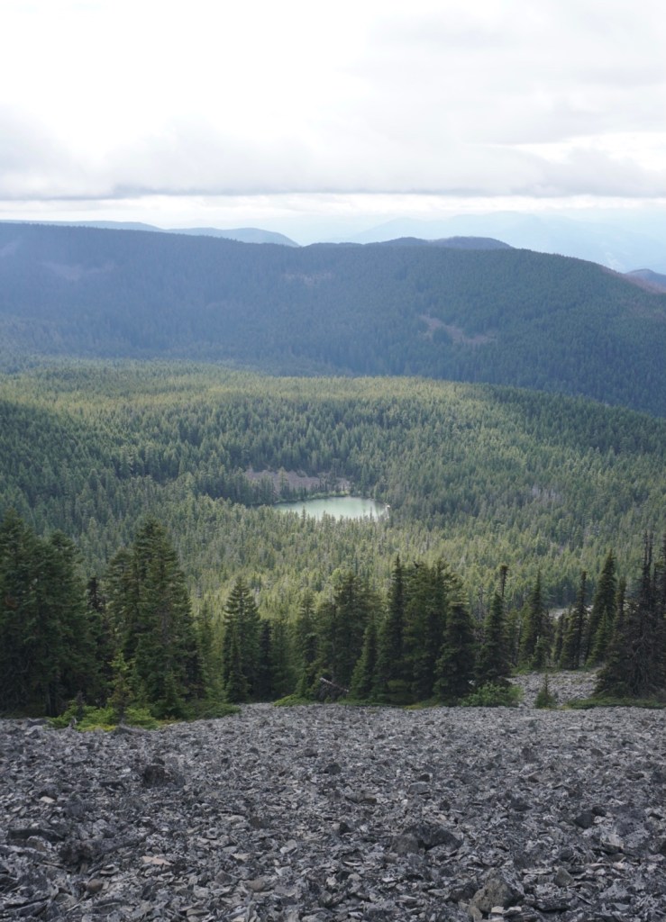
Eventually the relentless uphill battle mellows out at Warren Lake in the Mark O. Hatfield Wilderness. There was a lot of beargrass around the shoreline.
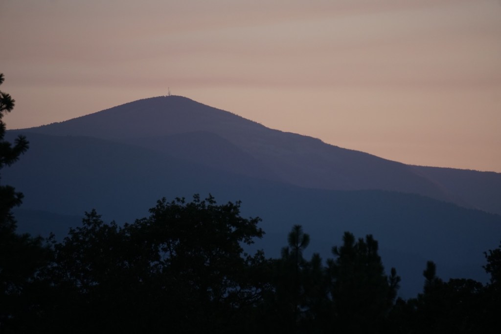
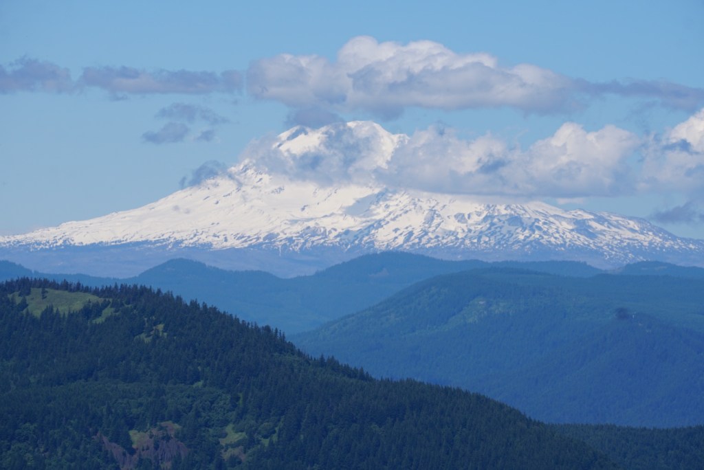
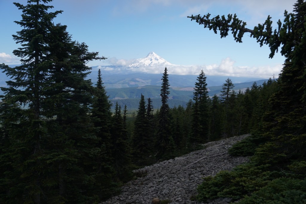
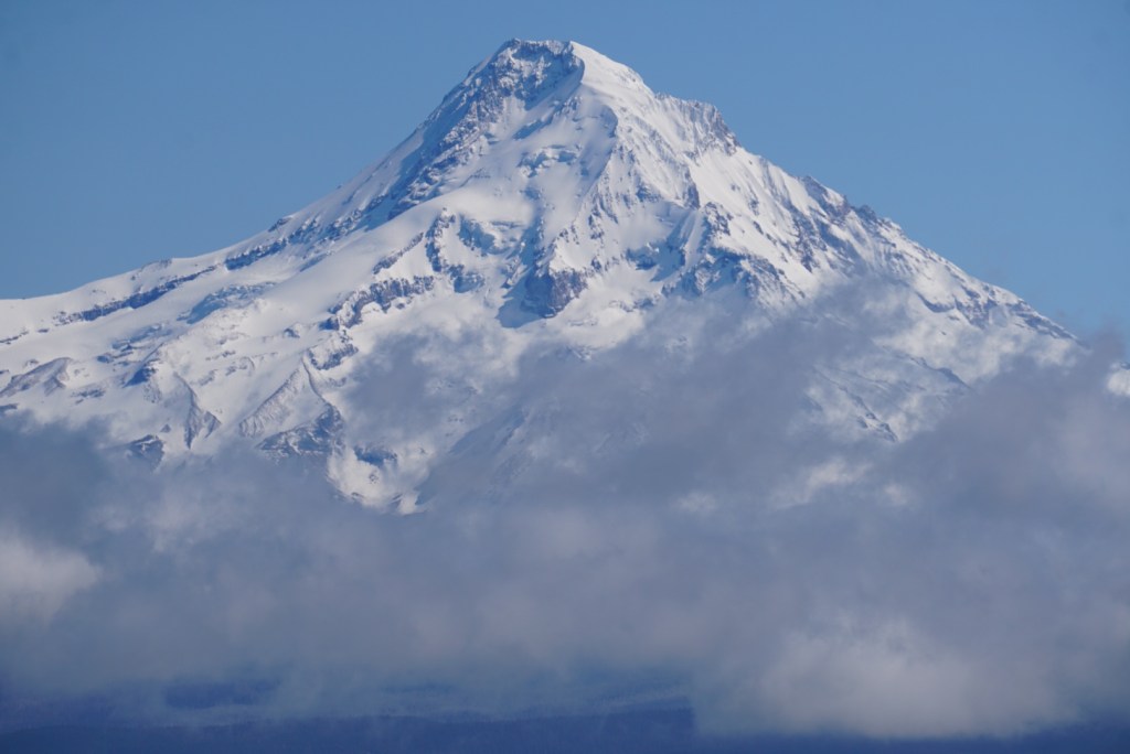
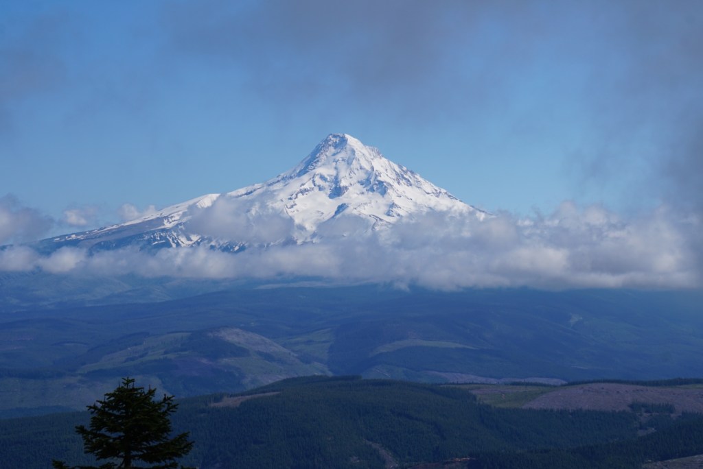
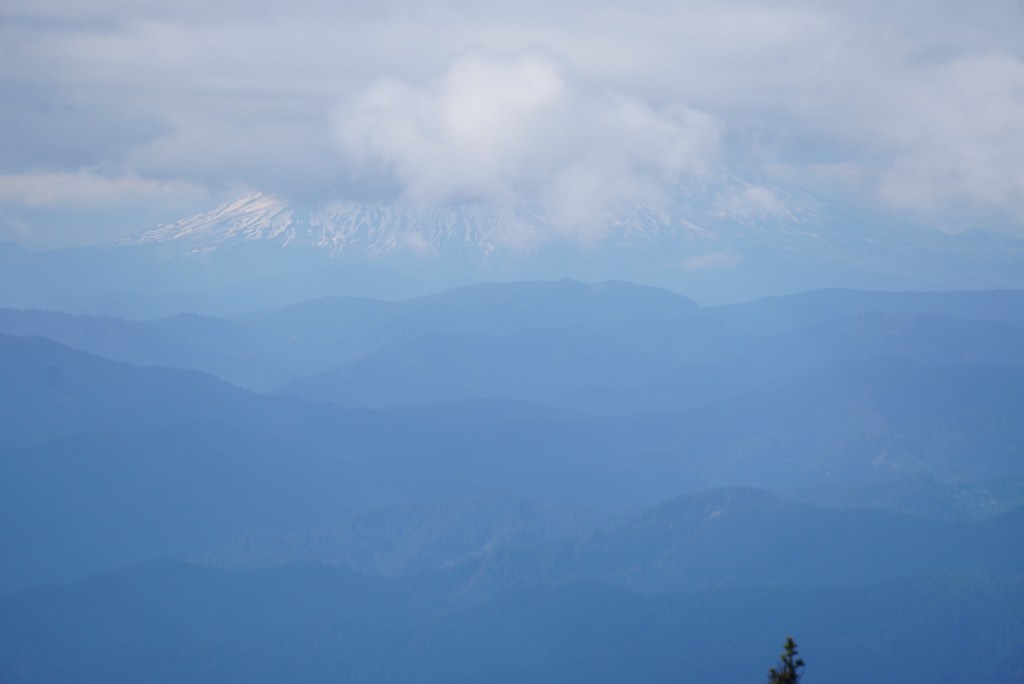
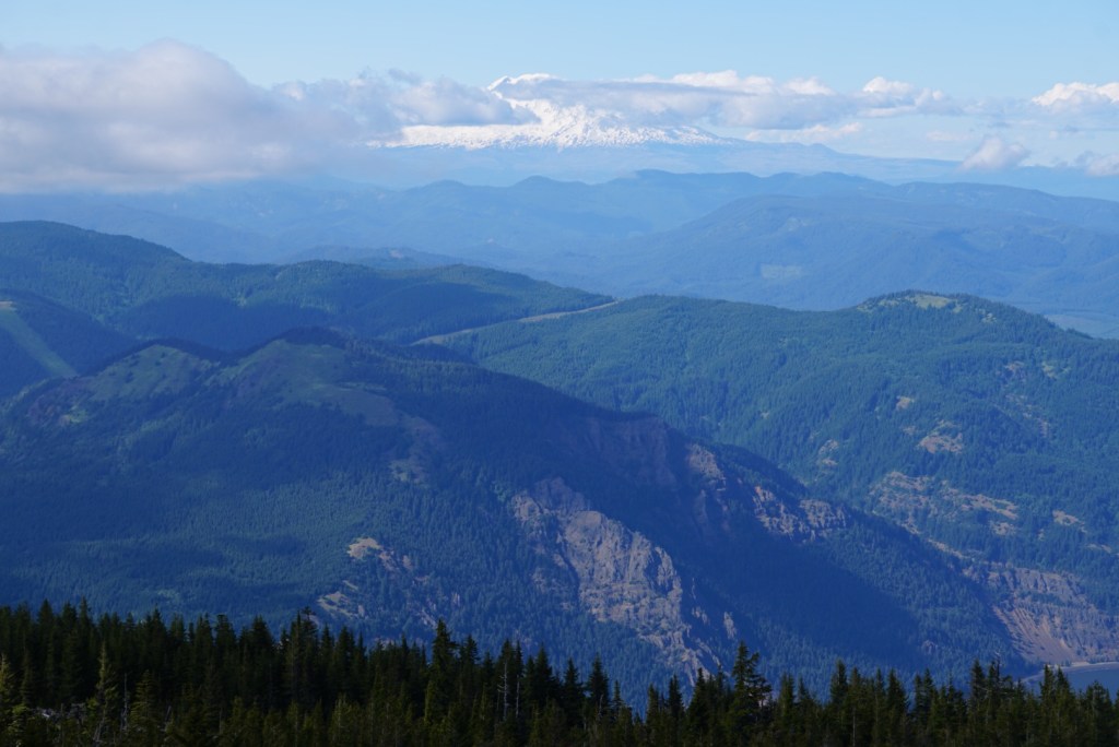
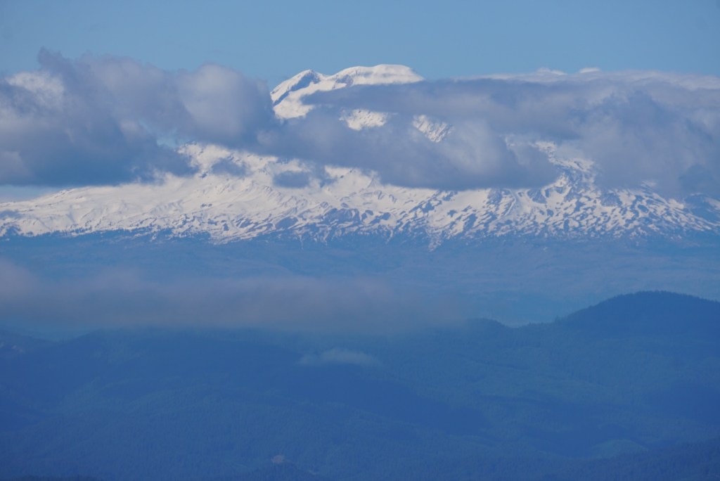
From the lake it’s 1 mile and 1,000ft to the summit. The trail goes up a talus slope which offered a clear view south to Mount Hood! Clouds were swiftly dancing by so I stopped and took some photos of Hood while I could.


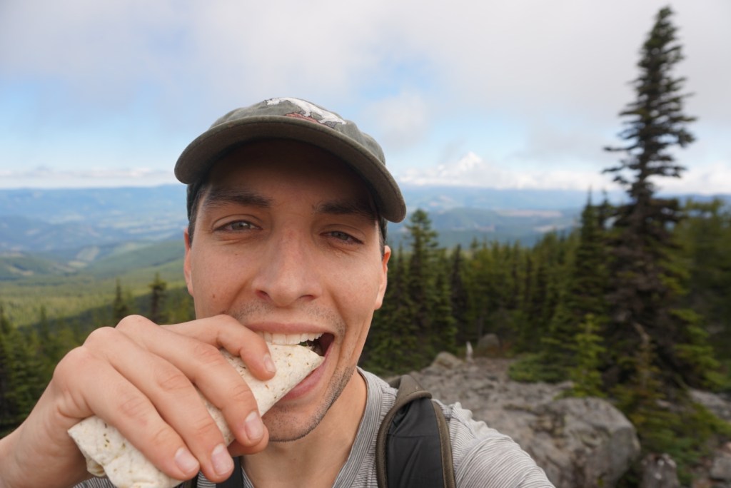
I then ran up to the summit with a ton of excitement only to realize I left my trekking poles 250ft below. I was too busy drooling over Mount Hood but I sucked it up and quickly ran down and back up so I could enjoy a long break and a snack with no stress!

There is a radio tower at the summit and some tree coverage but if you go left at the fence and follow a short path through the trees you’ll find a large rock on the cliff edge with a perfect vantage point. Loved watching the clouds pass by Mount Hood and looking out over the desert but it started getting really windy as more clouds rolled in so it was time to head down.
The only variation in my descent was a trail that looped around the northwest side of the summit along the talus slope. Not the best option for wind exposure but there were some nice new sights!
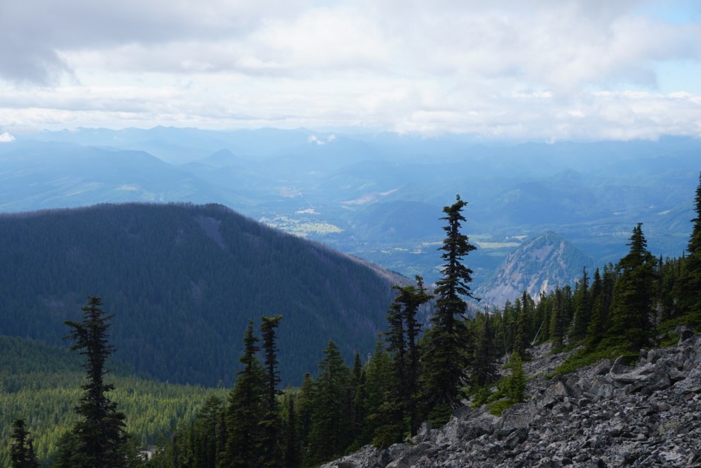
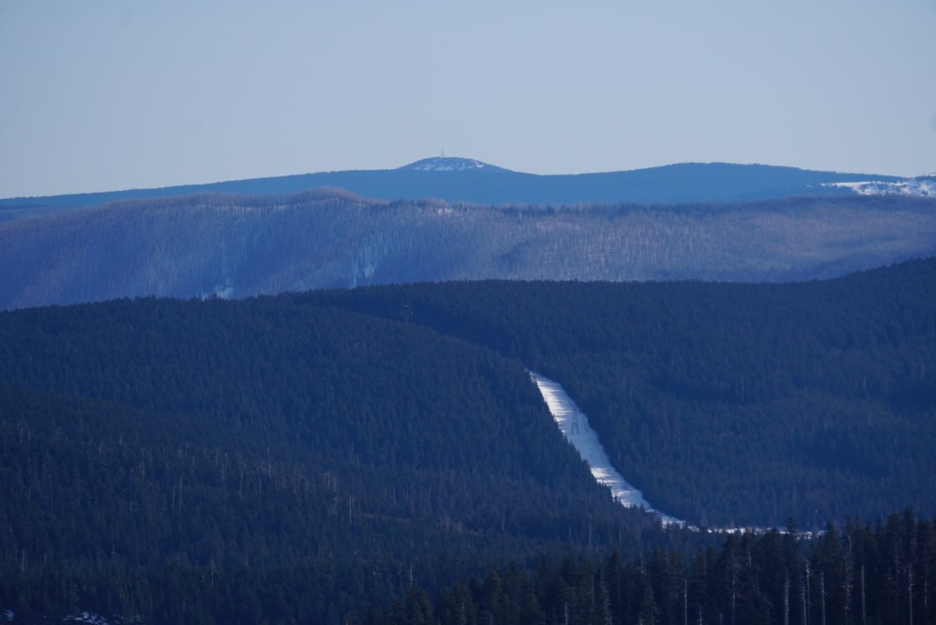
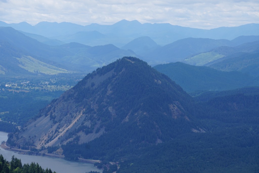
Past Warren Lake my only stops were to take photos of Mount Adams which makes Dog Mountain look like an ant hill.
With plenty of easy downhill jogging I made excellent time and was able to finish before sundown. The extra walk in the power line corridor and past the four waterfalls was an enjoyable way to end the day!
This is a perfect training hike but also a perfect anytime hike! It sure feels good to move!
