Summit: 6,842ft
20m 6,200ft
The Brothers was one of the first mountains I added to my hiking list after moving to Seattle. You can see the front range of the Olympics from every rooftop in Seattle and The Brothers twin peaks always draw my attention. The South peak alone is a very challenging scramble and one that requires in depth preparation especially with route finding. This guy’s trip report is spot on: 7/27/13 The North peak is a much more technical climb as is the traverse between the two. The Brothers were named after Arthur (South) and Edward (North) Fauntleroy by the Captain of the US Coast Survey who was engaged to their sister Constance. The sisters Constance and Ellinor also have front range Olympic peaks named after them. The names out here are so awesome. You’ll walk through the Valley of the Silent Men and up the south couloirs of The Brothers in the Duckabush-Hamma Hamma Group of the Olympic Mountains!
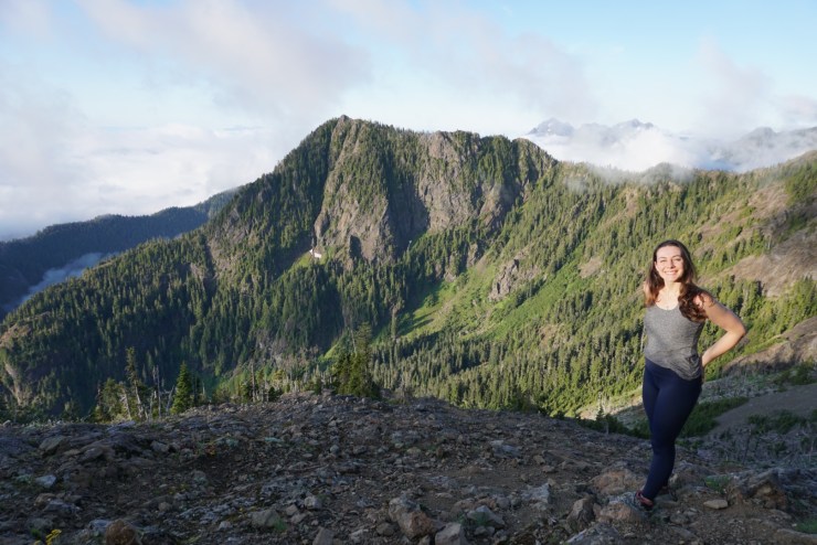
From our 1st trip up Mount Ellinor (Bros on the left)


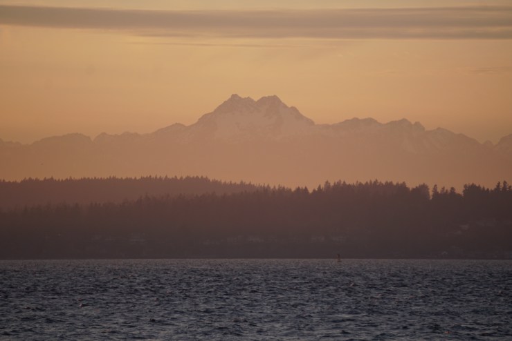
From Discovery Beach in Seattle:
From Dr. Jose Rizal Park in Seattle:

From Sunset Hill Park in Ballard:

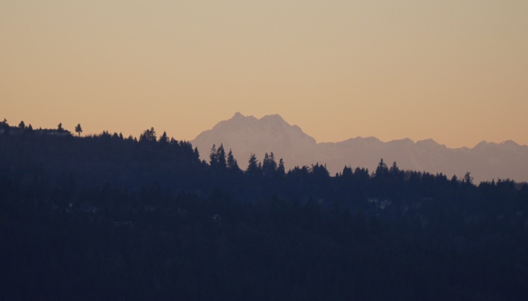
From our apartment in Ballard:

From our apartment in Issaquah:
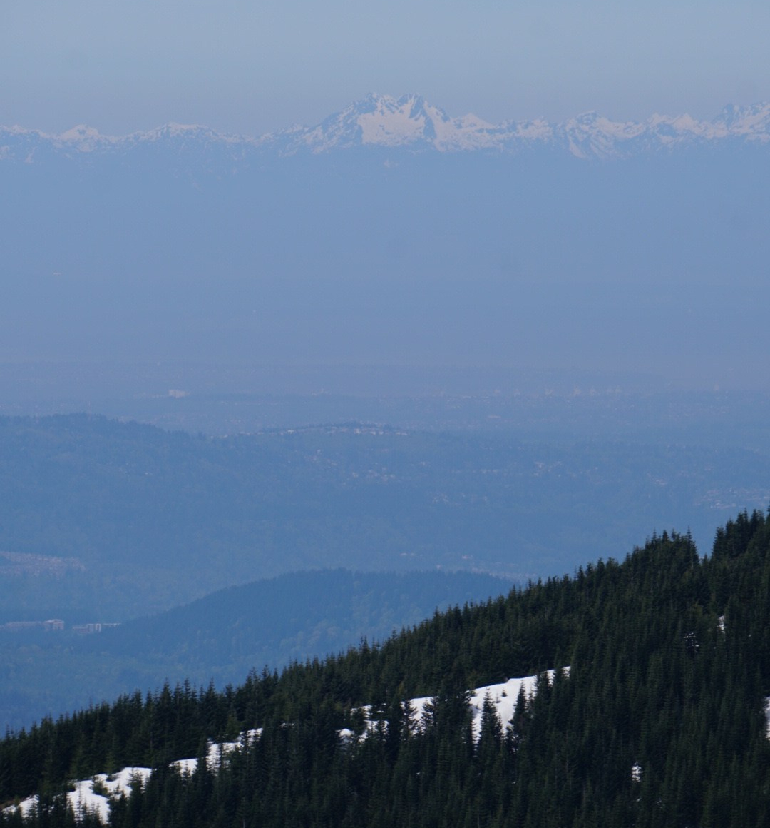
On a clear day it can even be seen from the Cascades (Mount Teneriffe):
1st Trip: 7/27/19
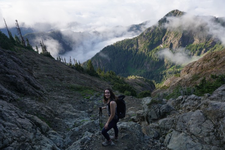
Ellie and I set off for a two day trip up the South Peak of The Brothers. Most of the hike is in Olympic National Forest but you’ll cross into the National Park on the summit. The first 3 miles are easy going and take you to Lena Lake.

There are plenty of good campsites here but we wanted to get much closer. Past the lake you’ll enter the Valley of the Silent Men and the Brothers Wilderness. We saw a lone mountain goat and this was around the time of the final translocation.

There’s a well defined trail the next 2 1/2 miles to the climbers camp. Although we got off track once and were introduced to devil’s club as we got ourselves into a little bushwhack. Plenty of gorgeous running water in the valley.

We continued past the climbers camp where there was one group of two and went up to 3,400ft where we found a nice camp spot. The sun was about to set so in no time we were asleep and up again at 5:30am. That was about when we heard the group of two walk past our tent. We got going by 6am and started on a boot path up and through a pretty meadow and then a burned forest with a lot of blow down.

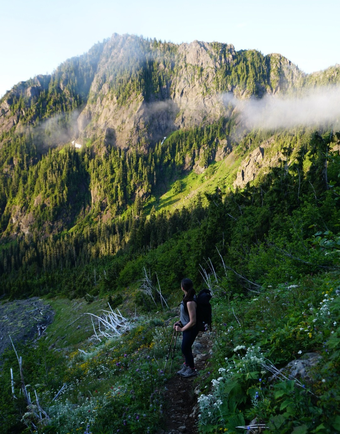
The forecast called for clear skies but what’s a trip to the Olympics without some moody clouds.

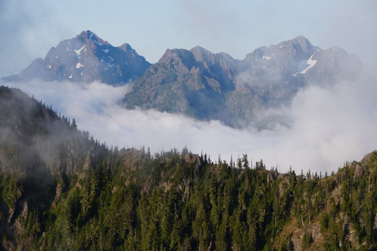
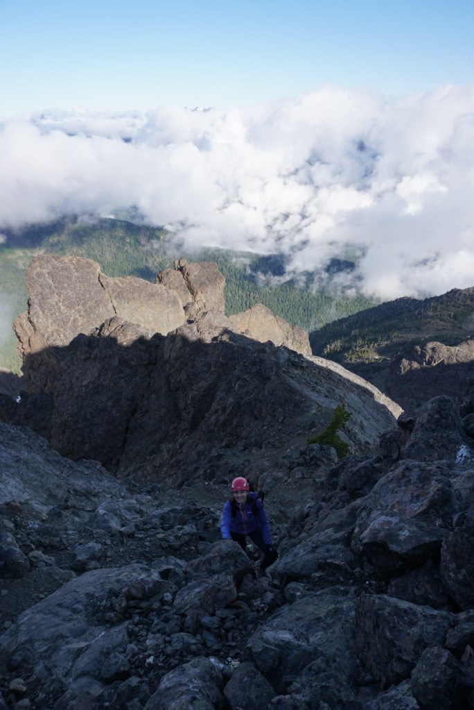
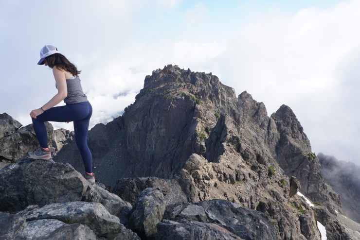
Past the tree line the scrambling begins up the northwest gully. At a second meadow you’ll round a giant boulder named Lunch Rock then walk across rock ledges and scramble up loose scree. We’d then follow a collection of gully’s and chutes that eventually lead to an infamous gully named the hourglass. Here rock fall is unavoidable and very dangerous. I’ve never seen rock fly at the speed it did here but thankfully we stayed close together and no one was close in front or behind us.

Near the top we ran into the group of two who had a made some route finding errors so we’d be summiting together. Thanks to my detailed notes and pictures we all took a notch on the right before the saddle which they had missed and then scrambled up the last 200 feet to the summit.

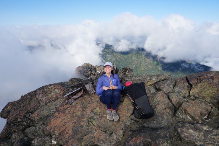
We were ecstatic to reach the summit and thanks to the two other guys we got a picture together!

They were very nice but didn’t stay long. I would meet one of the guys again later that week as shortly after we started our descent we found a Garmin InReach and I was able to contact Garmin who put the owner in touch with me. He drove from Olympia out to Issaquah and gave me $40, what a guy!

We thought there might eventually be a break in the clouds so we stayed for about an hour, having an early lunch, taking lots of pictures and enjoying the clouds dancing by.


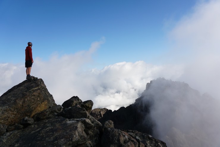


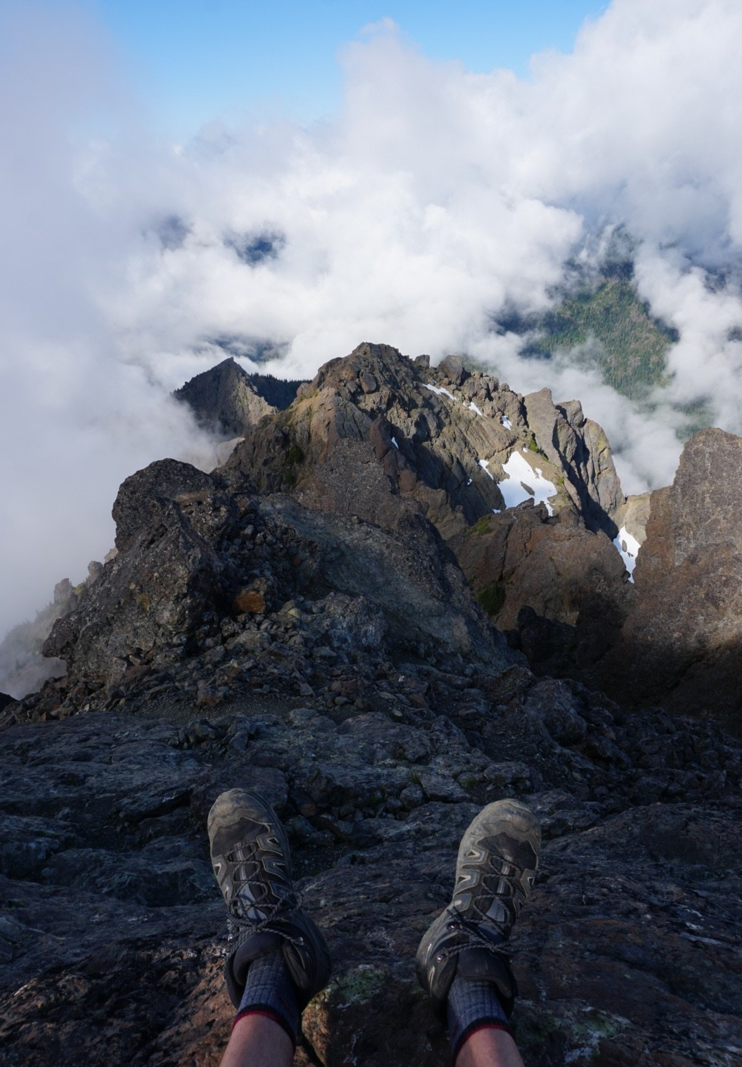


Here’s a clear shot of the North Peak (Edward) which is only 192ft lower than the South Peak.
We didn’t see any more mountain goats but we did see a unicorn!

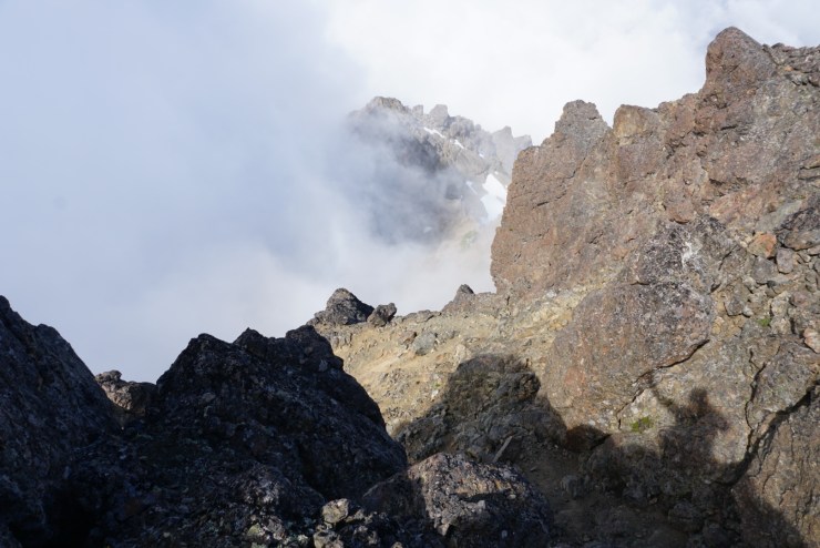
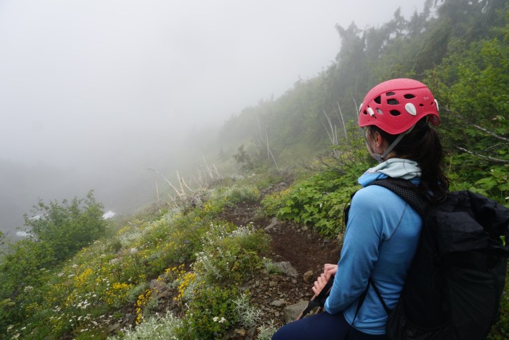
With the clouds only seeming to get thicker we eventually had to retrace our steps back to camp and to the car. Almost right away we were in a dense fog with no visibility. It wasn’t raining but there was a constant mist that absolutely soaked us and the rocks we had to scramble down. The forecast looked so good we didn’t bring rain jackets, won’t make that mistake in the Olympics again. Our descent became much more difficult than the way up. Route finding was also even more of a challenge. It wouldn’t have helped much this day but I wish I had looked back more often on the ascent to familiarize myself with the way down. It took a lot of time and patience but we methodically worked our way down to the boot path. We were so happy to make it down the gullies safely but we were mentally exhausted and very wet.
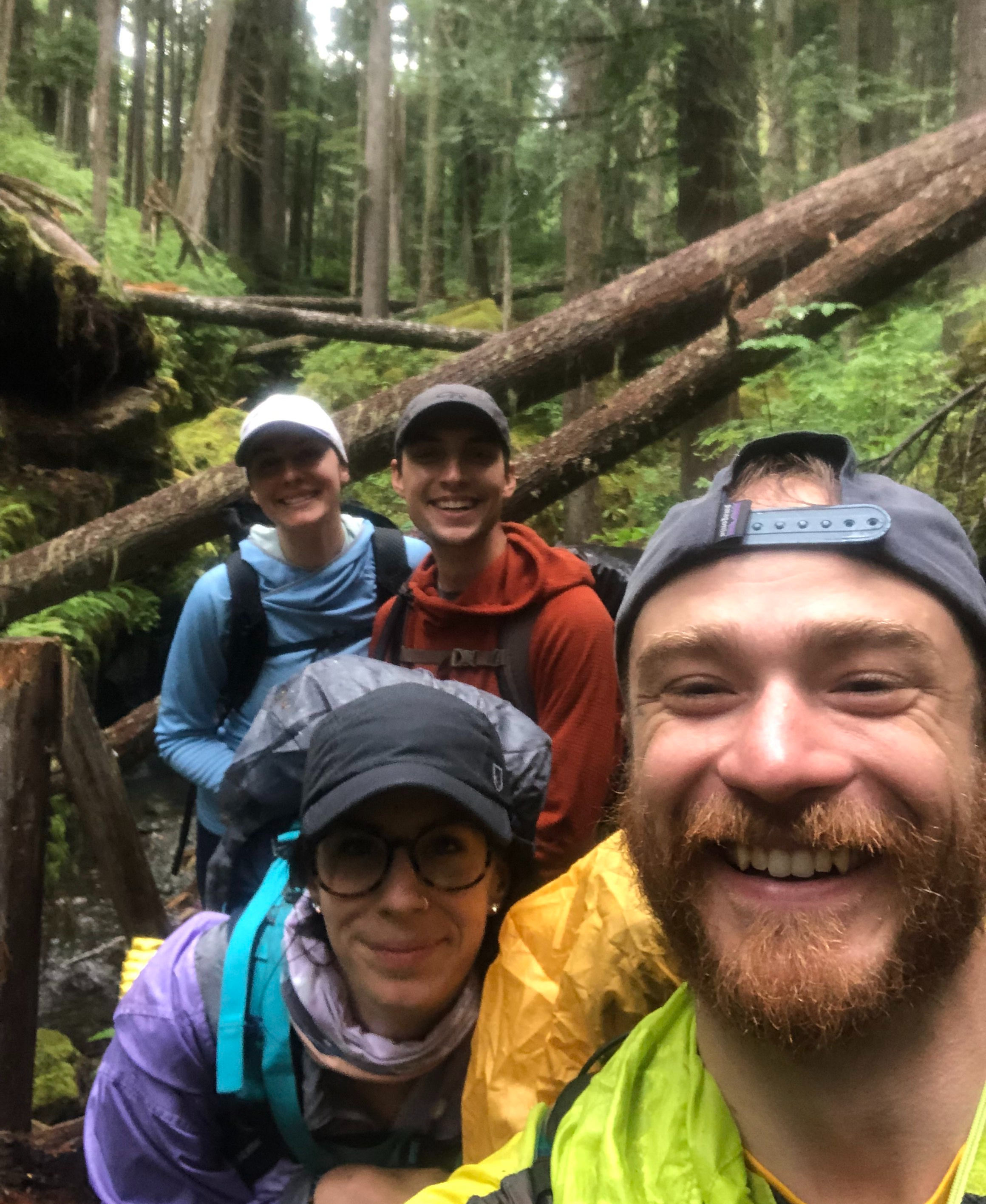
We packed up camp as quickly as possible and began our slog down to the trailhead. Shortly after leaving our camp site we ran into our wonderful friends, the Shirley’s! They were planning a summit bid the next day but when they heard how wet the rock was and considering how wet they already were they decided to walk down with us. We absolutely loved the company!
Now every time I look at the Brothers I can smile a little extra knowing what kind of fun adventure it takes to get up there! Do your research and bring a rain jacket if you attempt The Brothers.

