Summit: 9,182ft
Stats: 8.8m 3,725ft gain
Ancestral homelands of the: Klamath, Molalla, Cow Creek Umpqua and Grand Ronde
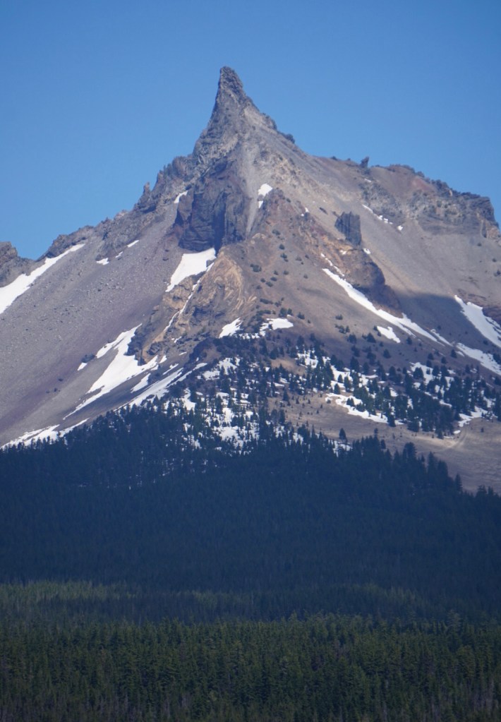
Mount Thielsen also known as Big Cowhorn is the 7th tallest volcano in Oregon. The beautiful horn shaped peak is located in the Mount Thielsen Wilderness and the Umpqua National Forest, north of Crater Lake National Park and just east of Diamond Lake. It has the reputation of being the lightning rod of the Cascades thanks to its summit spire that attracts lightning strikes. Despite its intimidating appearance a hike to the top can be straight forward if you follow route descriptions. The summit pinnacle requires a minimum class 3/4 scramble. Some people opt to bring a rope to repel down but if you research the west side route up the summit block and are comfortable scrambling you shouldn’t have any problems.


1st Trip: 6/3/21
Went on an impromptu solo road trip after seeing a perfect forecast for southern Oregon and realizing I had only taken one day of PTO this year. I left Vancouver at 5am Thursday and reached the Thielsen trailhead at 9am. Driving along the Willamette Highway was gorgeous! Plenty of worthy stops like Lookout Point Lake, Odell Lake and Willamette Pass. To my surprise the trailhead parking lot was empty, so I’d have this volcano to myself!

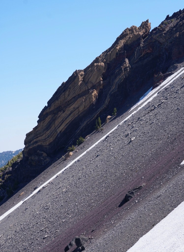
The first 3 1/2 miles are along a nice wide trail through a dry forest that crosses the PCT. The mosquitoes kept me moving and there was patchy snow between 7k and 8k feet but nothing to warrant extra traction.

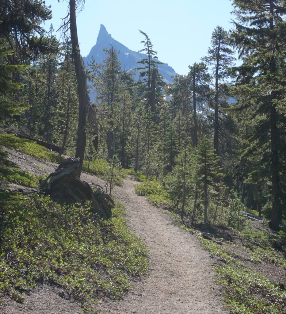
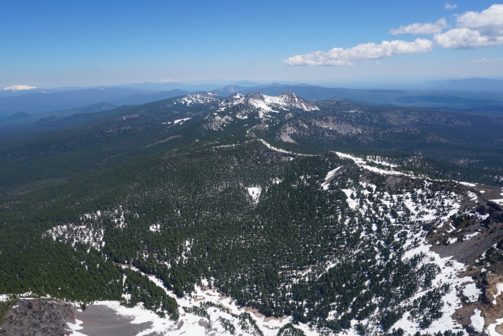
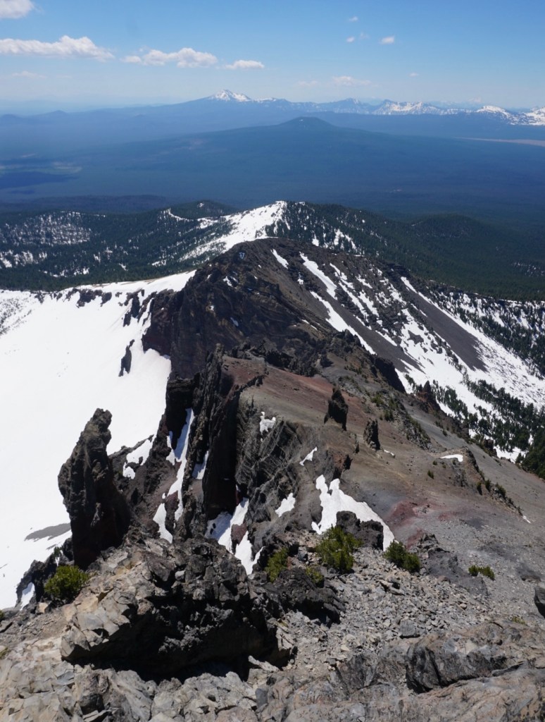
From the PCT junction you’ll continue heading straight up the ridge line with the full route often in view.
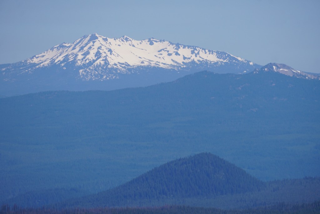
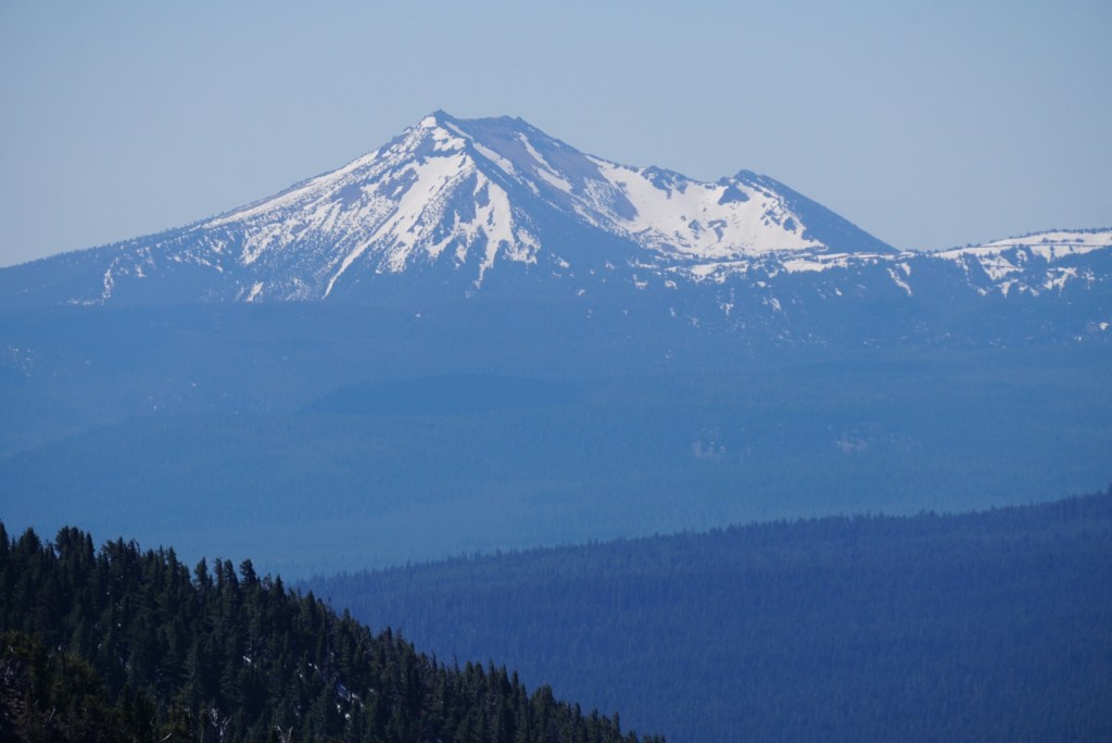
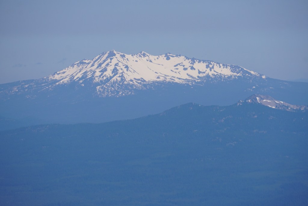
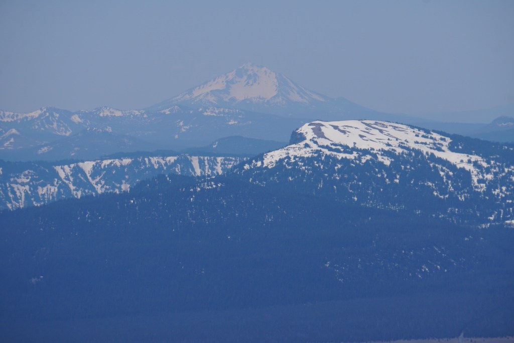
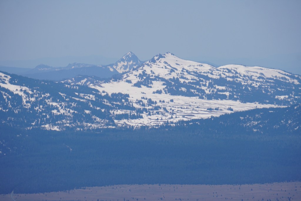
Other big mountains in Oregon started to appear.


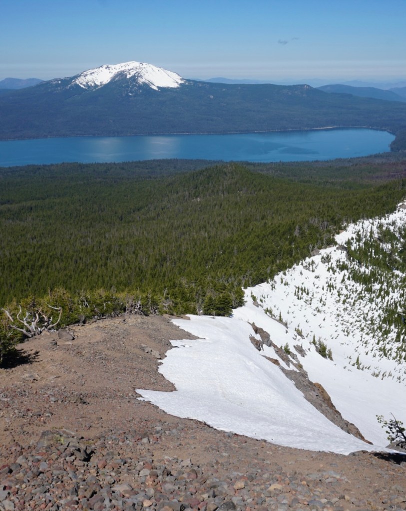

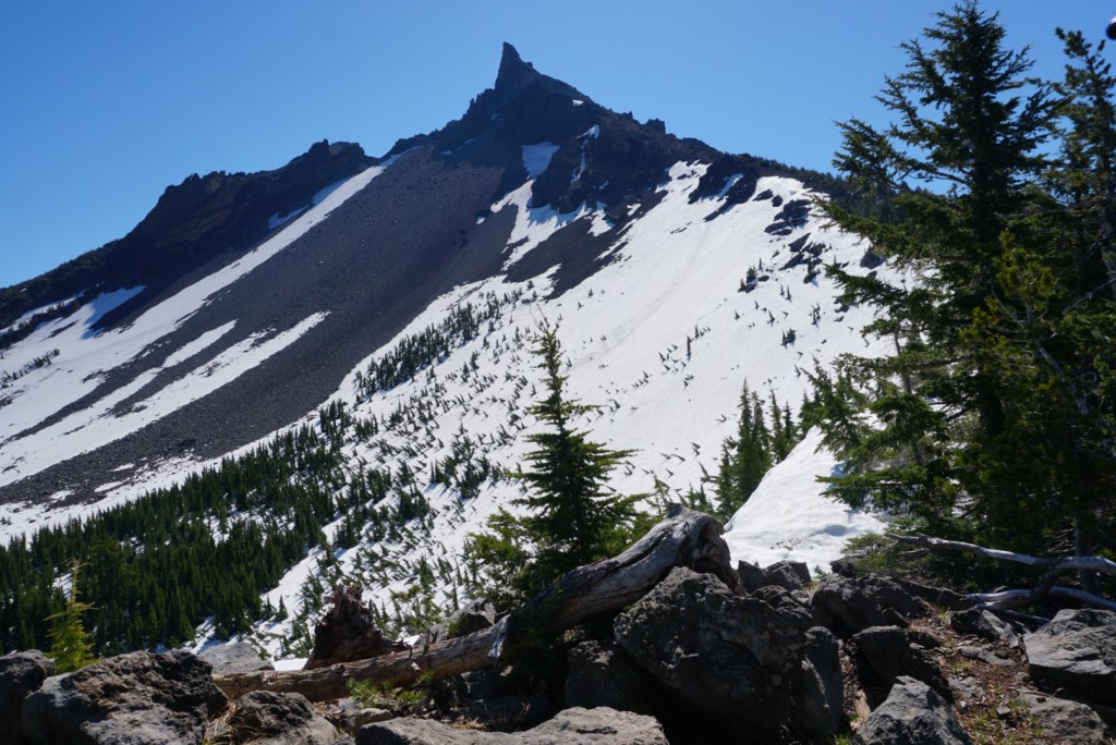
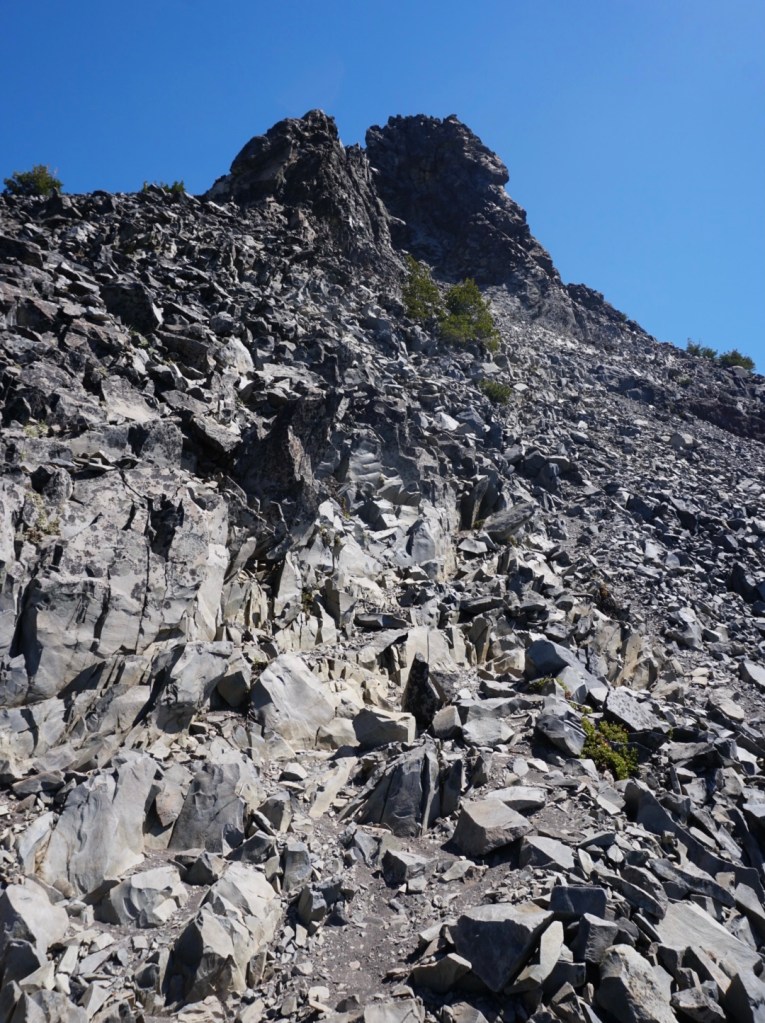
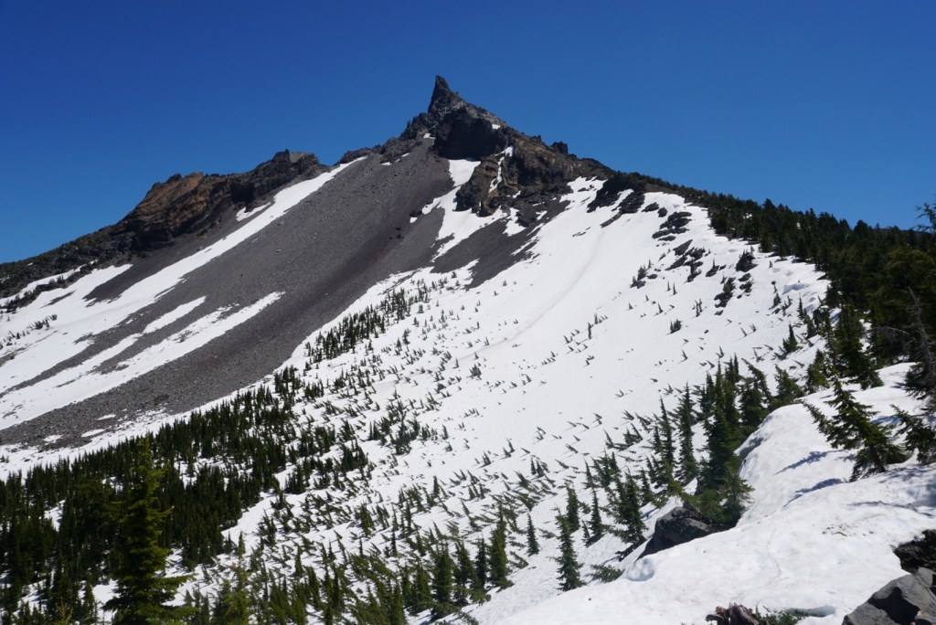
The climbers path continues to steepen as you ascend the ridge. You’ll soon be squiggling and sliding up scree and volcanic rock.


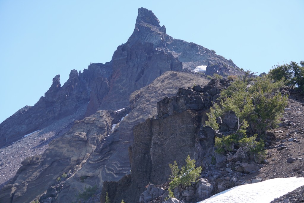
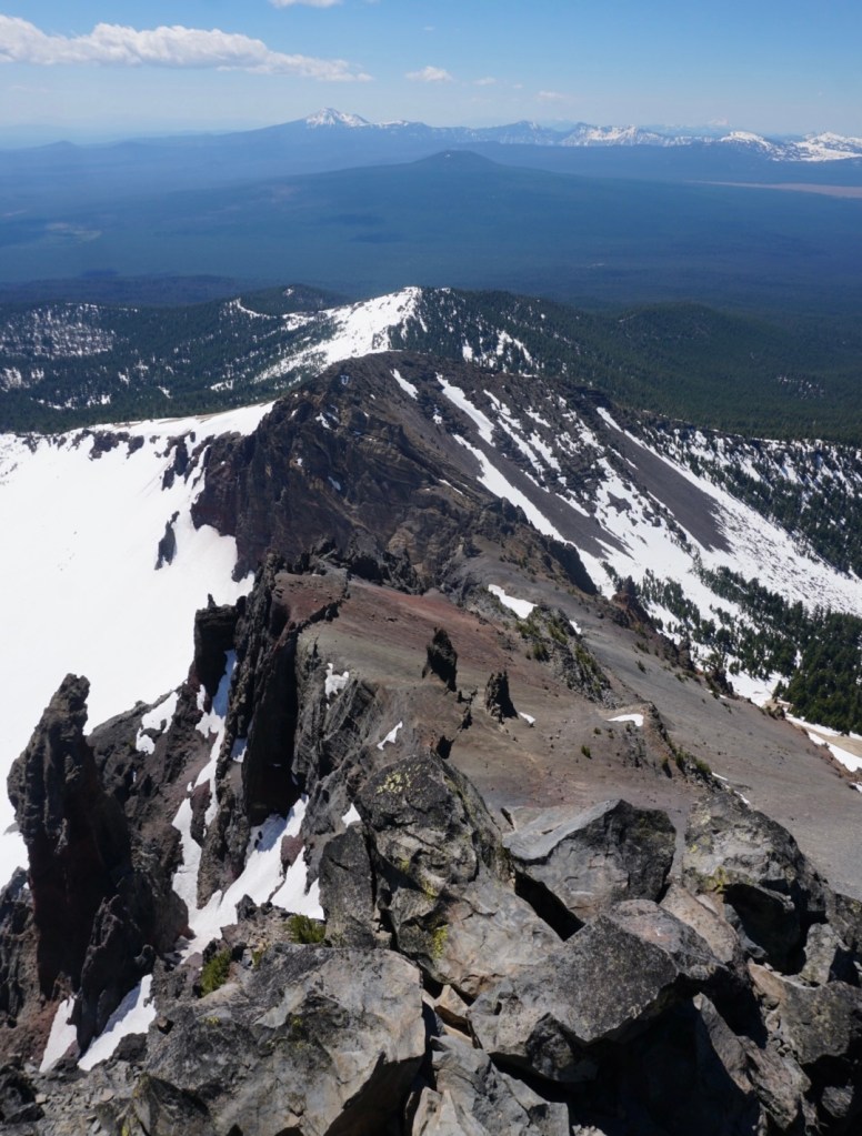
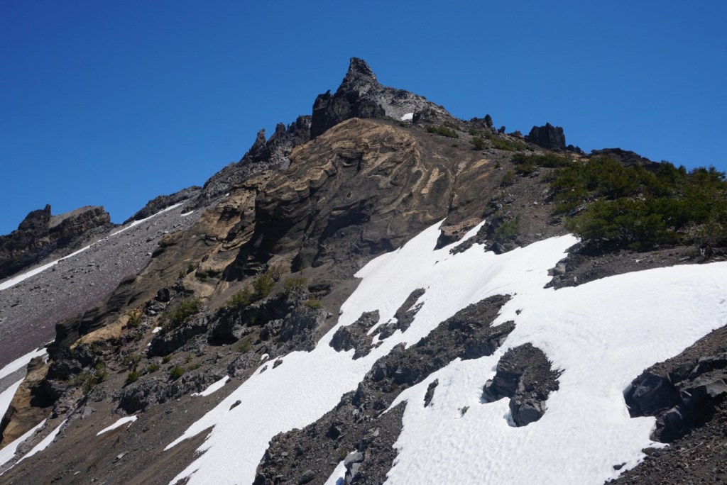
As you approach the summit block stay right. Head up a gully on the southwest side of the pinnacle to a notch. From there it’s an 80ft scramble up the south face.
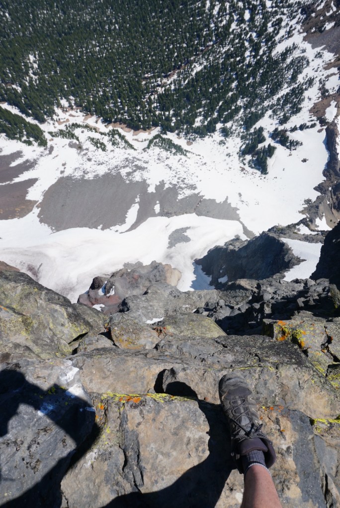
There’s a good bit of exposure but most of the rock is surprisingly solid. I made sure to take a picture every 20ft as I climbed up to ensure I went down the same way.

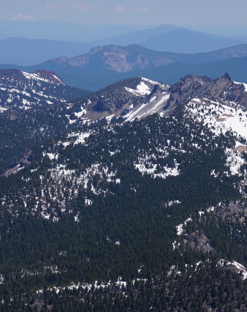
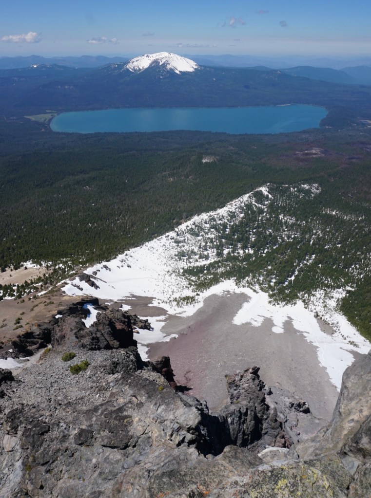
I stayed on the tiny summit for about 45 minutes enjoying the beauty of Southern and Central Oregon!
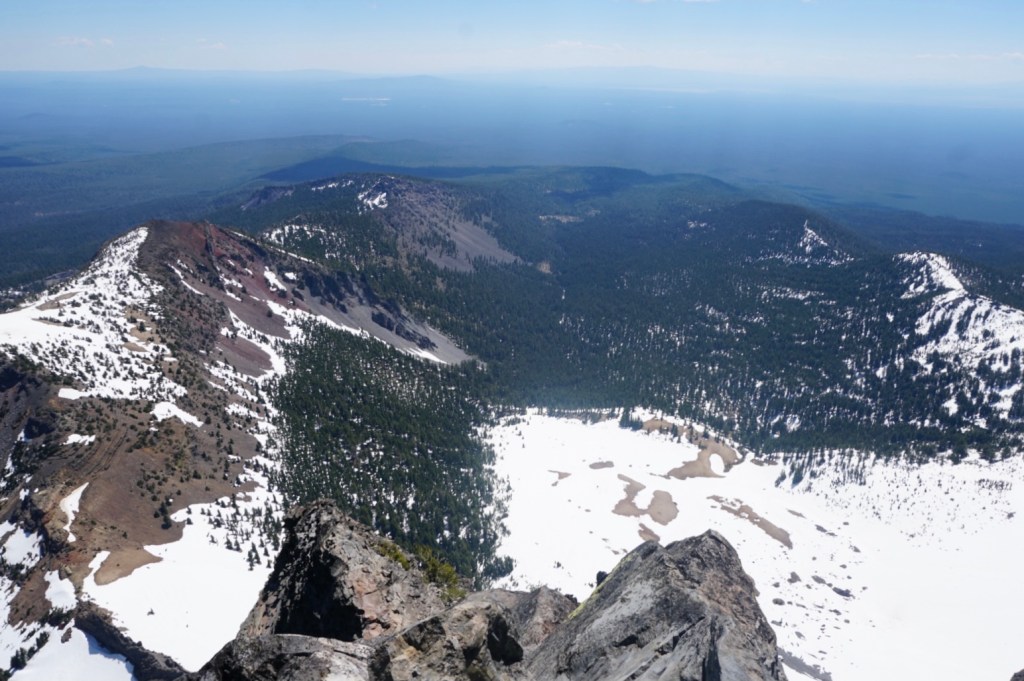

Looking down on Oregon’s southernmost glacier, the Lathrop glacier at the base of the massive north face!


I was most excited to finally lay eyes Cappy Mountain! According to volcano.si.edu, “it is a large, dissected mid-Pleistocene stratovolcano north of Mount Thielson with rhyodacitic lavas around its flanks.” I am determined to find a way to its summit! Seems like there are two options but both have uncertainties:
1. Start from Miller Lake, take the PCT northbound 9 miles and hike 1.5 miles off trail to the summit. Uncertain about the off trail.
2. A 4 mile cross country hike up the gradual north slopes. Uncertain about access.
I’ve spoken to rangers at every station in central Oregon, but no one has any knowledge of Cappy Mountain. The Klamath County Museum and Basin Outdoor Group took a group up the north side in 2014 but they had no info to share either. I’ll figure it out!


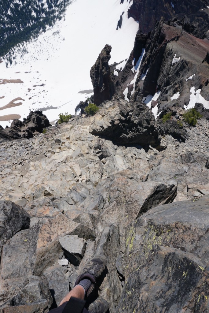
Made it back to the notch with no issues thanks to the solid rock and my finger pointing pictures!
From the base of the summit block, I descended carefully outside of some short scree skiing when safe. Once back on solid ground I picked up the pace and made it down in under two hours.


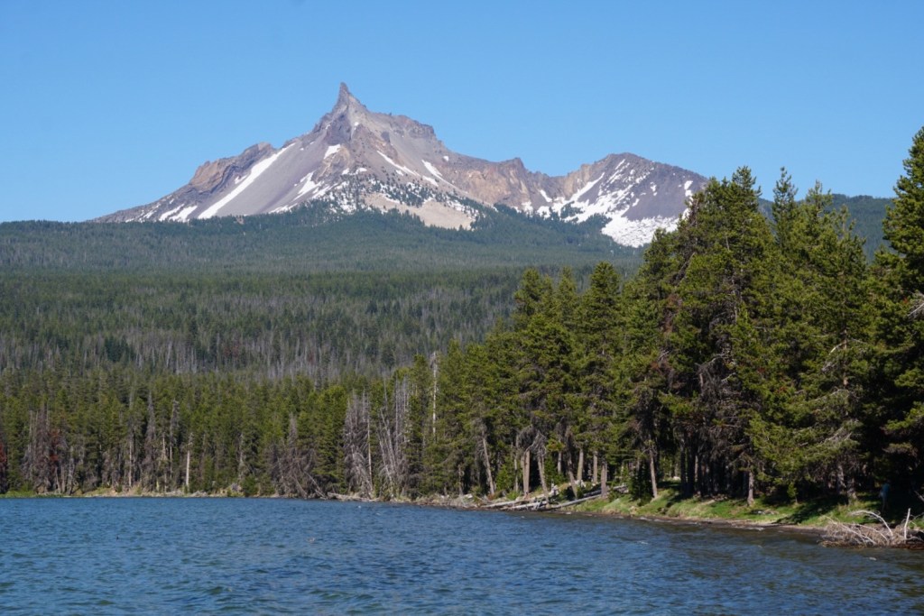
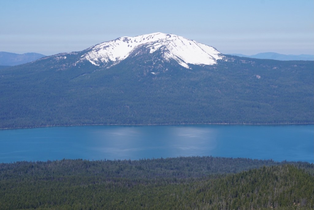
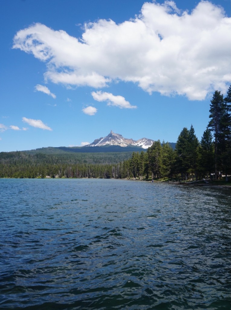
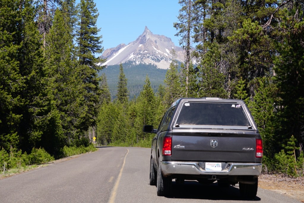
After the hike I went straight to the south shore of Diamond Lake to admire Mount Thielsen from afar!
Also stopped by the Thielsen View Campground before it had opened for the season.


After a quick rest I took NF-300 to see if I could reach the upper trailhead for Mount Bailey. Deep snow turned me around, but the main trailhead would be a great spot to disperse camp.
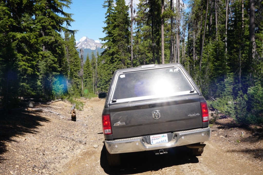

Instead of pushing it on another hike that night I showered at the Broken Arrow Campground, filled up my water and drove south so I could be ready to hike Mount McLoughlin in the morning! I took the long route through the Rogue River-Siskiyou National Forest on the Diamond Lake Highway and Crater Lake Highway. I made a lot of stops to look at Thielsen and McLoughlin.
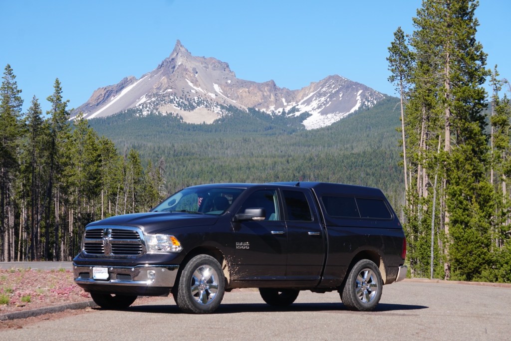

I’ll certainly hike up Thielsen again! Love the Diamond Lake area too, would go back just for Toketee Falls. The story continues in my next post, Mount McLoughlin.
