Summit: 7,205ft
12m 5,300ft gain
Mount Pugh, also known by the native name Da Klagwats, is a craggy peak located off the Mountain Loop Highway close to Darrington, WA. With almost 3,000ft of prominence the summit views are absolutely stunning in every direction. To get there you’ll gain almost exactly a vertical mile(5,280ft) in just over 5 miles. The last mile and a half is a scramble along a razorback ridgeline with significant exposure. Don’t attempt in bad weather or if you’re not prepared.
From Del Campo Peak a week prior:

1st Trip: 6/1/19
After Del Campo Peak I wanted nothing more than to hike in this area again so a week later my buddy Ben and I did just that. We slept at the trailhead that Friday night with no other cars in sight. We started early the next morning and were up at Metam Lake before 5am.

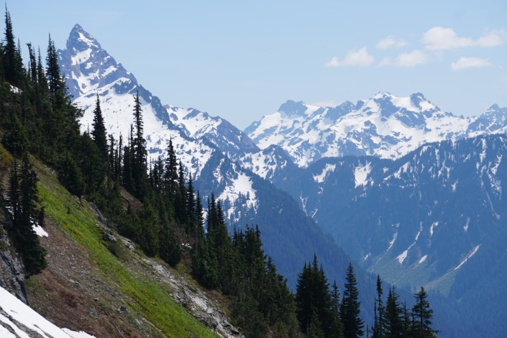
From there we hiked up switchbacks at a steep grade until reaching a boulder field in the Basin below Stujack Pass. As we headed up the talus slope views started to open up. I was blown away by the views of Sloan Peak!

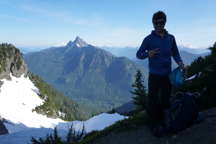
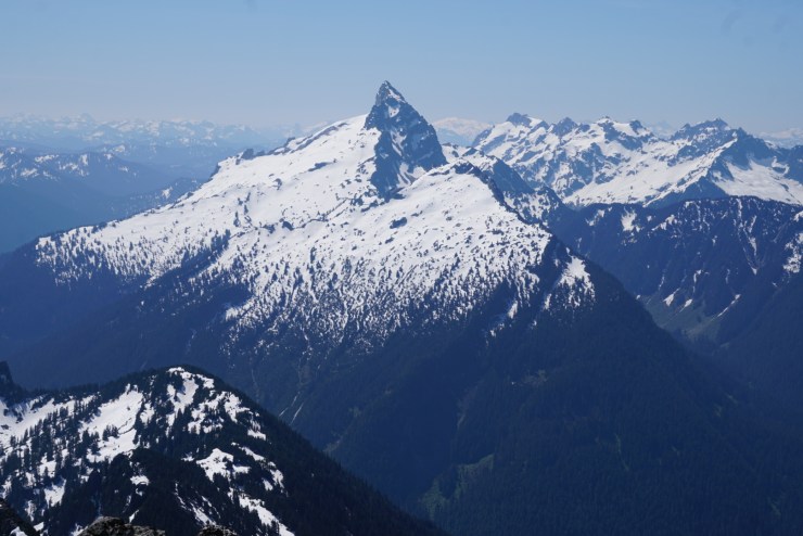
Here’s where Ellie and I were last weekend, Del Campo Peak:
Mount Forgotten:

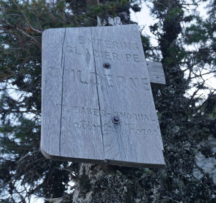
Once at the saddle of Stujack Pass we took a short break before entering the Glacier Peak Wilderness where the real fun begins.
I was blown away once again looking north towards White Chuck and Baker.


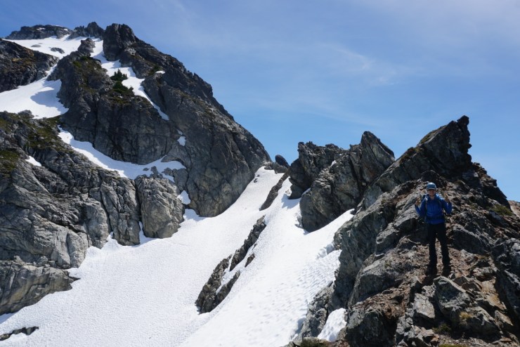
It was still early in the season so much of the route from here on was covered in snow with no signs of boot track. From the pass we headed straight up a steep snowfield to gain the ridgeline.

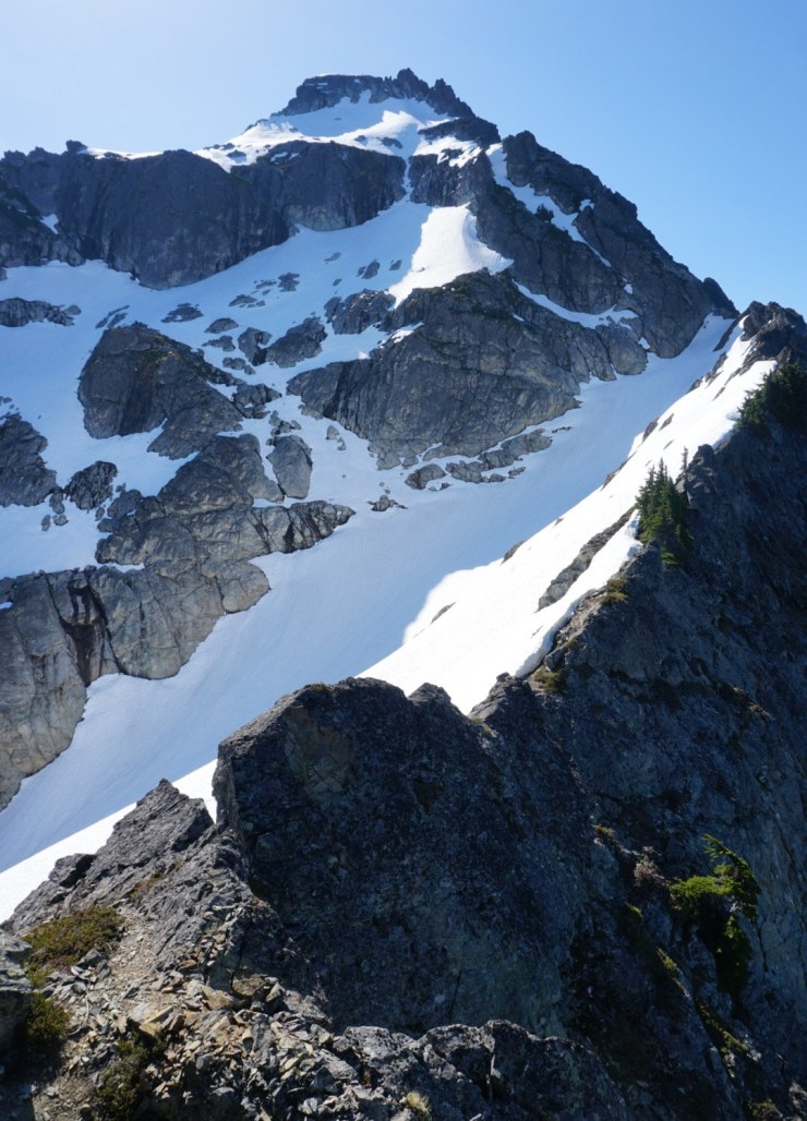
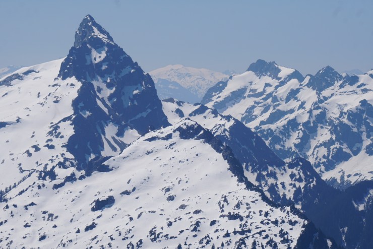
From there we could see the summit and our route along the exposed razorback ridge which sits above a permanent snowfield. We carefully navigated between the top of the ridge and the top of the snowfield.


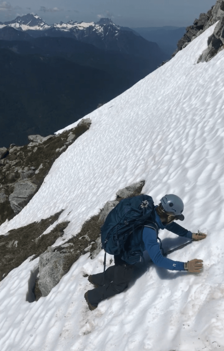
Past the knife edge ridgeline we worked our way up and along steep side hills towards the summit. There were 4 or 5 snow crossings, a few steep ones with “don’t F-up” runout that made us glad to have brought extra traction and an axe.
Past this sketchy section the route levels out a bit and becomes easy to follow.

After a short scramble you’ll be sitting on top of the world! At least that’s what every summit feels like to me.


It was 10am and time to enjoy what we suffered for on this beautiful day! There were wide sweeping views across the White Chuck and Sauk River Valleys.


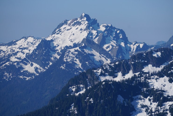
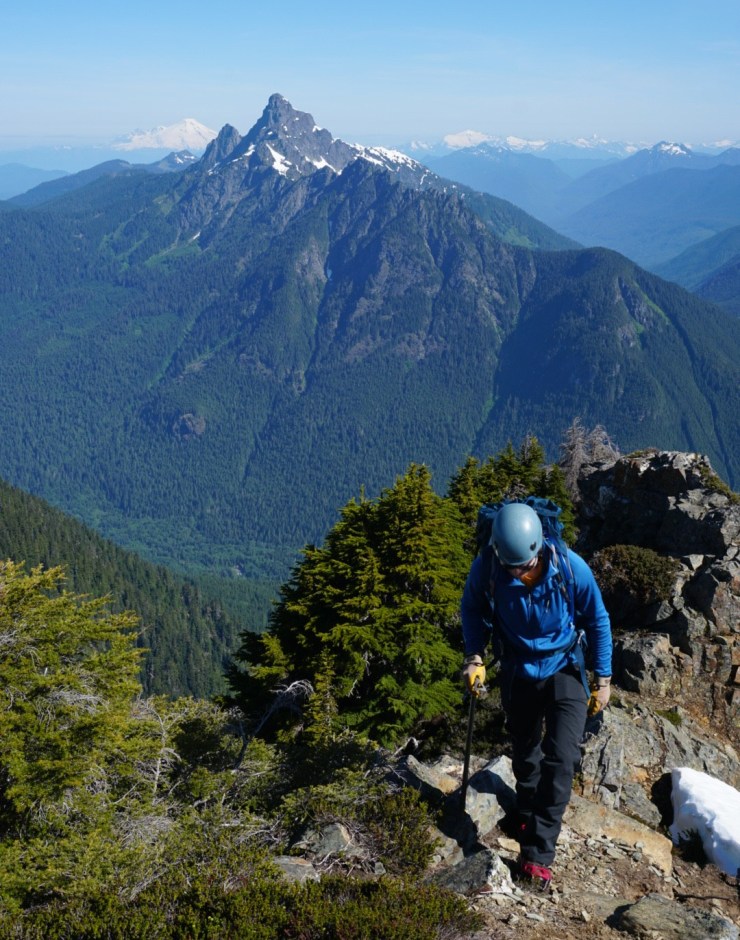
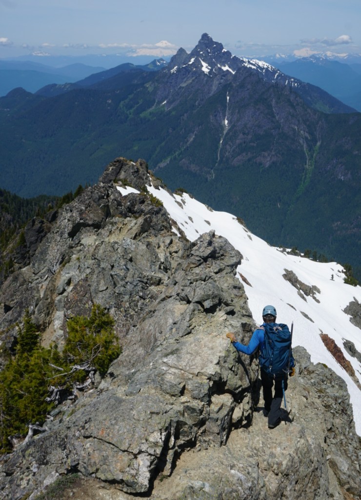
Sloan Peak aka the Matterhorn of Washington dominates the view south. Plan on climbing Sloan in 2020!

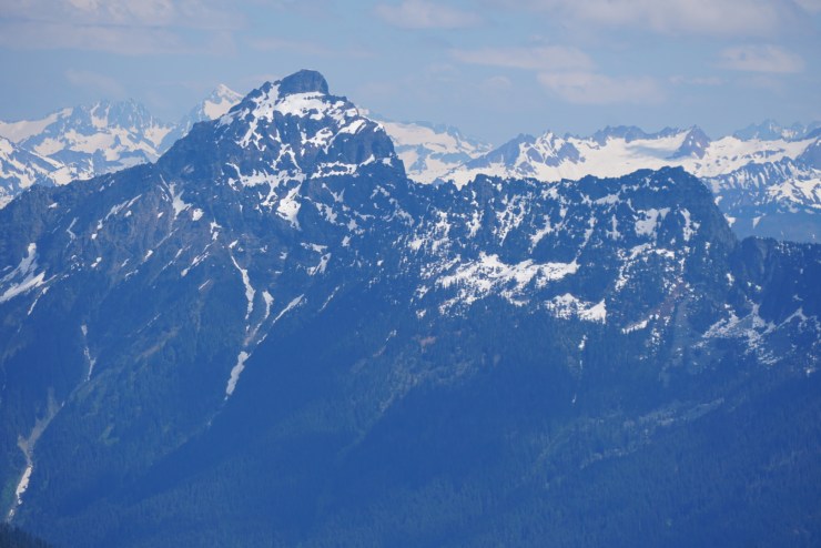
Next to Sloan are Bedal, Kyes, Monte Cristo and Cadet with Hinman in the background:
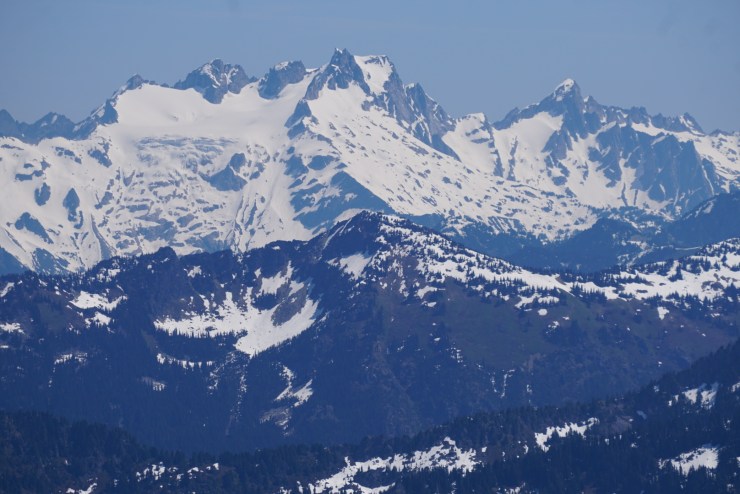
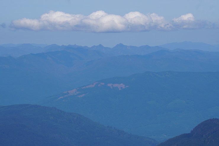
Looking further down the Sauk River Valley stands Rainier, Del Campo, Index, Stuart and much more:
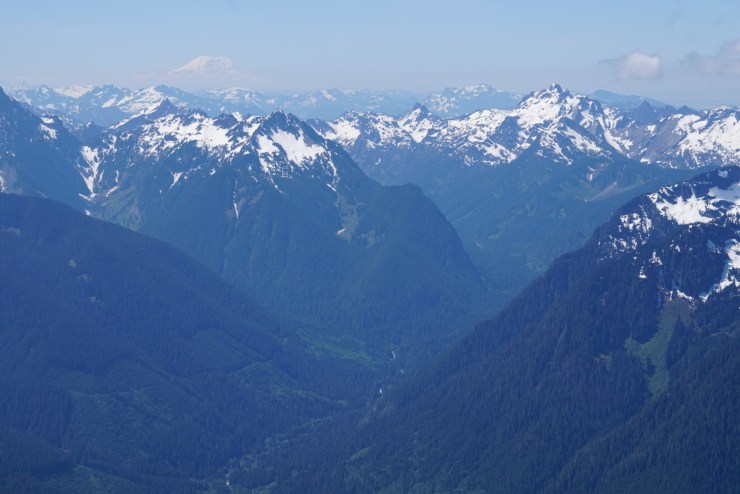


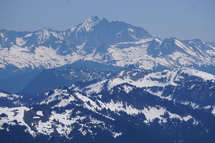
Part of the much more is Vesper and Big Four with Dickerman and Forgotten in the foreground:

Baker, White Chuck and Shuksan dominate the view north:


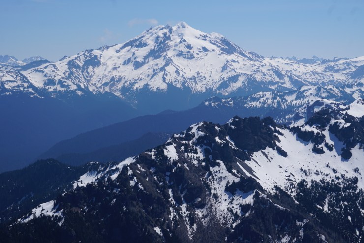
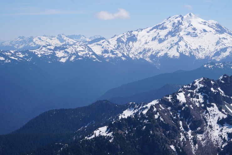
Only 12 miles to the east stands Glacier Peak, Washington’s most remote major volcano, which also took a lot of our attention as we planned to climb it later that summer.

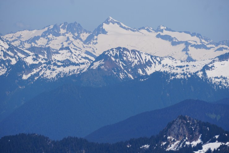
Also looking east are Eldorado, Sinister, Dome, Bonanza and the Pickets:

And to the west more spectacular mountains like Three Fingers and Whitehorse!


Since the weather was so great we knew the snow would start to soften up quickly so we didn’t stay at the summit too long. We were able to get through the sketchy snow crossings without trouble.

Back on the razorback ridgeline we took our time taking in the clear views once more.
To get back to Stujack Pass we had to down climb/half ass glissade down very steep and soft snow. Back at the saddle we ran into the only other party on the mountain. They were quite disappointed when we told them it took us 2 hours to get to the summit from the pass and 2 hours to get back to the pass from the summit. After a few failed attempts to get up the steep snow slope we saw them turn around. Always start early especially when snow is involved!

The rest of the descent went by quickly although I don’t know if Ben would say the same as I continually yelled out Da Klagwats and Pugh Pugh! I absolutely love the Mountain Loop Highway!